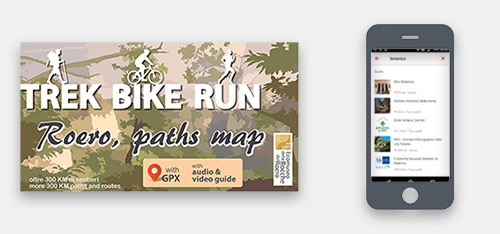
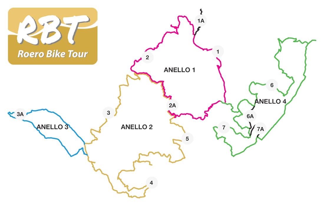
The 4 circuits of Roero Bike Tour
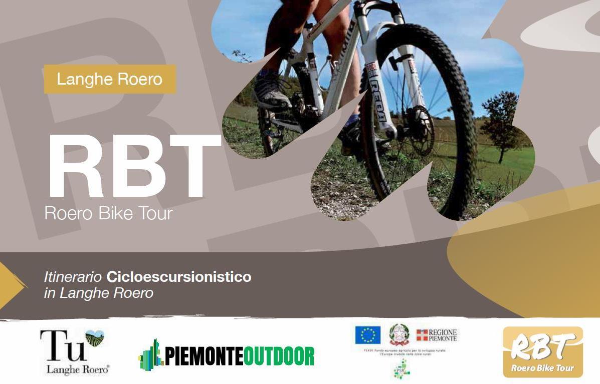
The RBT, Roero Bike Tour, is an itinerary dedicated to the mountain bike or e-bike usage that’s 140 km long with a univocal direction. It covers the whole Roero’s perimeter, including the three big Trails that already exist (the S1, the S4 and the S3).
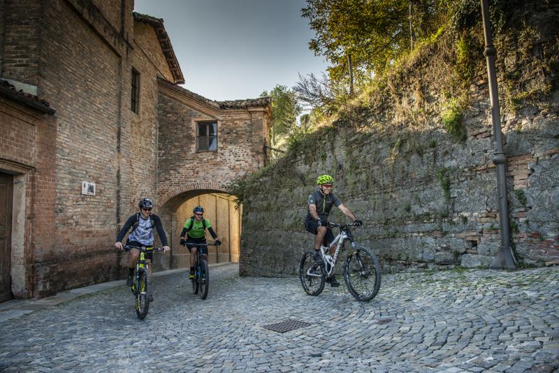
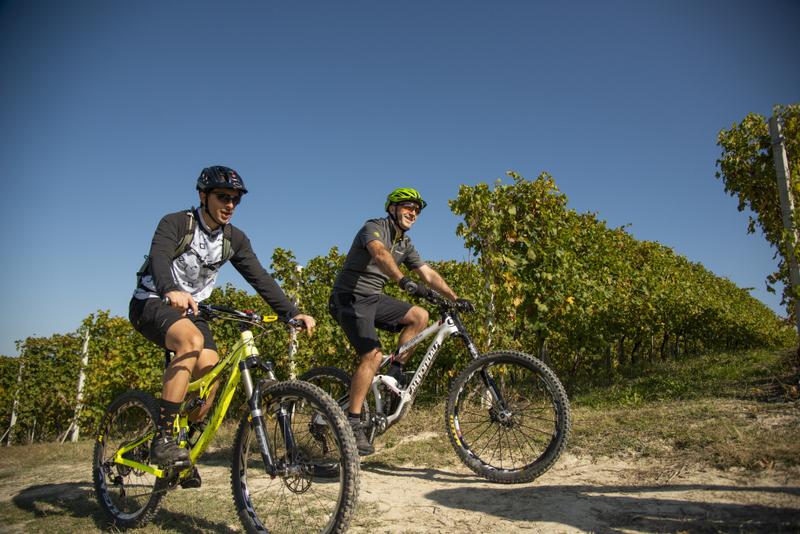
RBT is divided in 7 steps, with some alternative paths or linking paths, and it lets you go from town to town on paths which are totally surrounded by nature or less busy roads.
The RBT may be done also in 4 circuits (from 15 to 48 km), adapting the itinerary to suit your own specific preferences.
CHARGING POINTS FOR ELECTRIC BIKES:
Vezza d'Alba: electric bike recharging point located in p.za San Carlo, in the hamlet of Borgonuovo, near the Comprehensive Institute. (Geolocation)
Govone: electric bike recharging point in the Castle park near the driveway entrance after the masonry arch. (Geolocation)
Pocapaglia: electric bike recharging point in the sports facilities of the historic centre. (Geolocation)
ITINERARY
Circuit 1
Includes the steps 1, 2, 2A, 5 (in the final part).
Along the geological ridge of Rocche, in the territory of Cisterna d'Asti and Monteu Roero: a paradise of biodiversity that connect directly to the region of central Roero of Vezza d'Alba and its panoramic "Madonna dei Boschi" Sanctuary, immersed in the crests of precious vineyards that brings you to the historical centre of Canale.
Along the route, in the Montà area, you come across the "Valle delle Rocche" Outdoor Centre: an equipped area for MTB use with cycle repair shop, pump track, bike school, bike wash, relaxation area. (Geolocation)
To use the area, contact the Ecomuseum of Rocche of Roero tel. +39 0173 976181.
In the Canale territory, you come across the Chicca - Casa Natura: an area equipped for naturalistic and educational use with a cycle workshop, a relax area and a panoramic point.
(Geolocation). To use the area, contact Canale Ecologia (canale.ecologia@gmail.com) or the Ecomuseo delle Rocche del Roero tel. +39 0173 976181.
In the territory of S. Stefano Roero, you come across the Camper Area: an area equipped for use with campers and a panoramic point.
(Geolocation). To use the area, contact the Municipality of S. Stefano Roero tel. +39 0173 90112 or the Ecomuseum of Rocche of Roero tel. +39 0173 976181.
Works financed with FEASR funds (European Agricultural Fund for Rural Development: Europe invests in rural areas).
CIRCUIT 1
Lenght: 34 km
Elevation+: 950 m
Path with some portage needed.
Difficulty: MC (average skill level)
Download the GPX track.
Circuit 2
Includes the steps 3, 4, 5, 2A.
Along the geological ridge of Rocche between Monteu Roero and Pocapaglia, with vertiginous overlook on sandy precipices. Crossing the villages of central Roero, with its medieval towers and castles that emerges from wide woods and vineyards: Santa Vittoria d’Alba, Monticello, Corneliano.
Along the route, in the Piobesi d'Alba area, you come across the cycle workshop with external bike storage and washing - located inside the Sports Center - with entrance at the Piobesi Swimming Pools car park (geolocation).
To use the facility, contact the Municipality of Piobesi d'Alba, in Piazza San Pietro 16, from Monday to Saturday 8.30-11.30 - tel. +39 0173 619448, extension 1 - piobesi.dalba@ruparpiemonte.it.
Work financed with FEASR funds (European Agricultural Fund for Rural Development: Europe invests in rural areas).
CIRCUIT 2
Lenght: 48 km
Elevation +: 1280 m
Difficulty: MC (average skill level)
Path with some portage needed.
Download the GPX track.
Circuit 3
Incudes the step 3A.
A step that go trough one of the wider ancient wood of Roero, in the flat territory that connect the village of Pocapaglia to Sanfrè and its hidden castle. A tour properly apt for families, that penetrates oak woods and untouched undergrowt.
CIRCUIT 3
Lenght: 16,5 km
Elevation +: 160 mt
Difficulty: TC (tourism).
Path, low traffic roads.
Download the GPX track.
Circuit 4
Includes the steps 6 and 7.
A section that pass trough the softer Roero that overlook to the fertile Tanaro valley: low traffic roads between orchards, vineyards and historical top villages with its sumptuous baroque palaces: the castle of Guarene, the castle of Magliano Alfieri, the royal residence of Govone. Open panoramas in a zig zag of soft hills, to reach the flat valley along the river, into the old mills channel.
Along the route, in the Magliano Alfieri area, you come across the cycle workshop with toilets, located near the parking lot in p.za Bartolomeo Gosio, formerly the spheristerium (Geolocation).
For information on using the area, contact Alla Corte degli Alfieri restaurant/cafeteria tel. +39 0173 66244 in Via Alfieri 4, (at the Castle) on the following days: from Monday to Sunday, except Tuesday all day and Wednesday morning.
Information point at the entrance to Castello Alfieri, (open on weekends and public holidays from April to October. Consult the calendar here: www.castellodimaglianoalfieri.com.
Along the route, in the area of Guarene, you come across the cycle workshop with toilets located at the entrance to Via Ortigara, next to the spheristerium (geolocation).
For information on using the area, contact the Municipality of Guarene tel. +39 0173 611103 in Piazza Roma nr 6.
Works financed with FEASR funds (European Agricultural Fund for rural development: Europe invests in rural areas).
CIRCUIT 4
Lenght: 40 km
Elevation +: 890 mt
Path, low traffic roads, some portage needed.
Difficulty: MC (average skill level).
Download the GPX track.
WARNINGS


The Roero Bike Tour has its own signage designed for cyclists. Search the diamond-shaped signs along the itinerary, that gives you information about the difficulty of the path:
- green: easy
- yellow: medium
- red: difficult.
For any doubts, consult the GPS map that can be downloaded.
There are technical sections in places, but these can always be overcome on foot, carrying or pushing your bike, or by making use of public transit between villages. Along the route, there are marked stations for charging e-bikes and for minor repairs that may be necessary along the way.
ROERO BIKE TOUR: WHAT YOU NEED TO GO:
• The ROAD BOOK, available at the Tourist Office of Ecomuseum (p.zetta vecchia Segheria 2/B - Montà - Cn) or at the Tourist Office of Alba Bra Langhe Roero (p.za Risorgimento 1 - Alba - Cn).
GPX tracks are also available on smartphone APP:
GPSIES VIEWRANGER EVERYTRAIL WIKILOC KOMOOT
Search: “RBT Roero Bike Tour” on the official account of Ecomuseum of Rocche of Roero.
• If you prefer cycle without minding signage and itinerary, you can book a MTB Guide that will carry you in your mtb trip, tells you about the territory and take a break with you in the best local wineries!