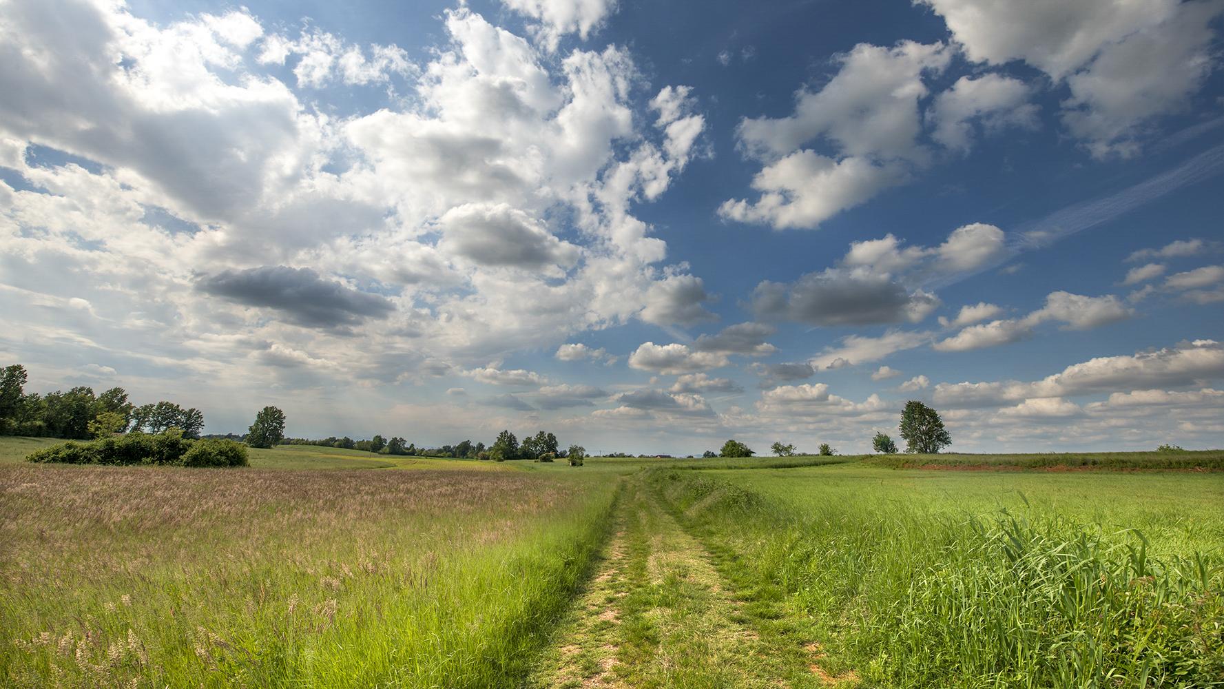
network paths roero
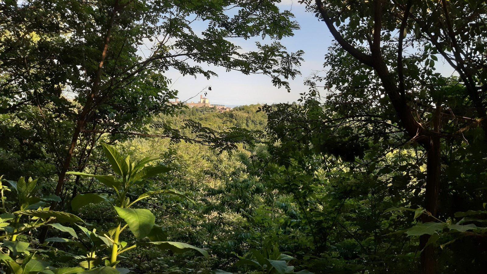
The Ecomuseum of the Rocche of Roero ha
s activated a Network of Thematic paths that permit one to discover the beauties and peculiarities of the
landscape. Through the paths immersed in nature it is possible to discover the environmental varieties, the
cultivations and the traditions of the Roero.
Each path is devoted to a peculiar theme and each theme is highlighted and explained by many bulletins boards
placed along the way.
The paths, identified by poles and signals, were created for public use: on the website it is possible to
freely download the GPS track of each path, see the photogallery and the Google map with technical details and
points of interest.
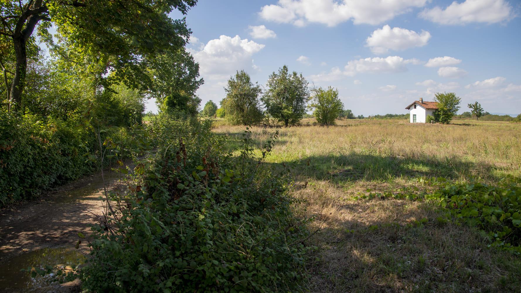
On request, it is possible to book a naturalistic tour-guide service both on foot or by mountain bike, or to
rent the MP3 audio guide of the Paths, available in Italian and English.
search path

Sentiero degli Asfodeli / S2
A path deep into the heart of the ancient silva popularis, the primigenial wood of Roero which according to the different seasons, offers scented wild fruits, mushrooms, lawns of periwinkles, anemones, lilies of the valley and asphodels.
GO TO THE TRAIL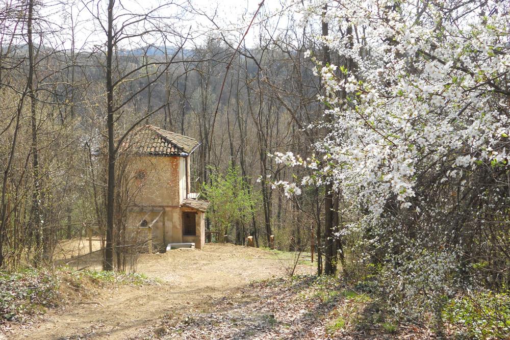
Sentiero dell'Apicoltura
Through the ideal habitat for beekeeping, discovering ancient methods of honey production as well as the beehive ciabòt, rural buildings unique in Europe.
GO TO THE TRAIL
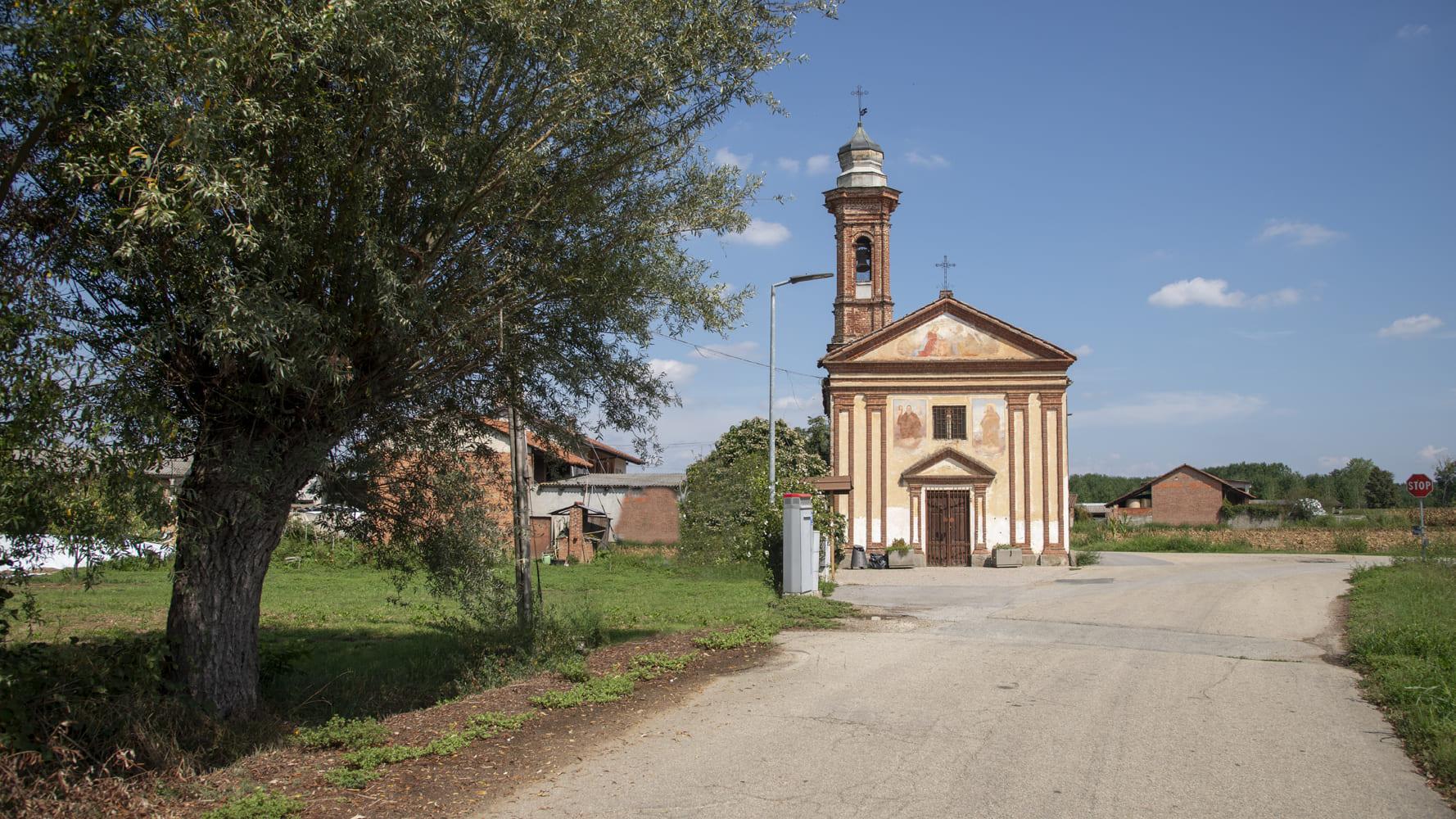
Sentiero Religioso
Following the footsteps of the ancient pilgrims travelling from the village to the Holy Mount built on the hilltop, upon the remains of a pagan temple dedicated to the goddess Diana.
GO TO THE TRAIL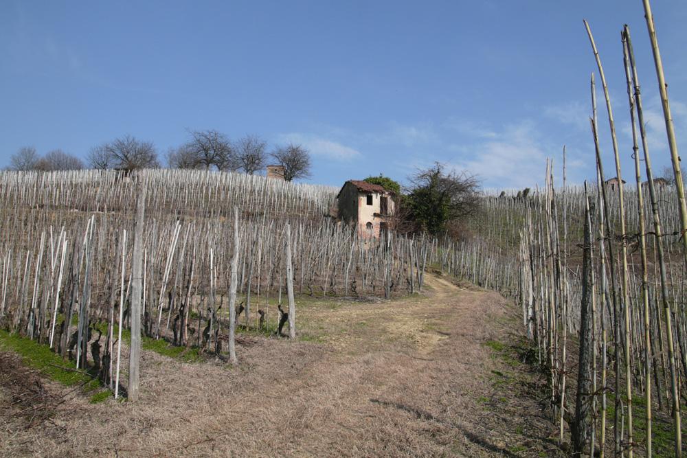
Sentiero del Tartufo
Along the shady trails of the trifolao, the hunters of the fine white truffle of the Rocche, and then up along the vineyards grown in sandy soil and dotted with all sorts of different ciabòt.
GO TO THE TRAIL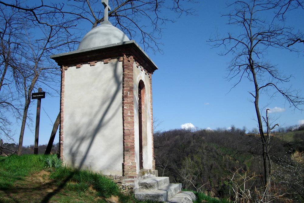
Sentiero del Castagno
A paradise of contrasting surroundings, from hills with vineyards and orchards to wet areas of the biotopes, through ancient chestnut groves and votive shrines.
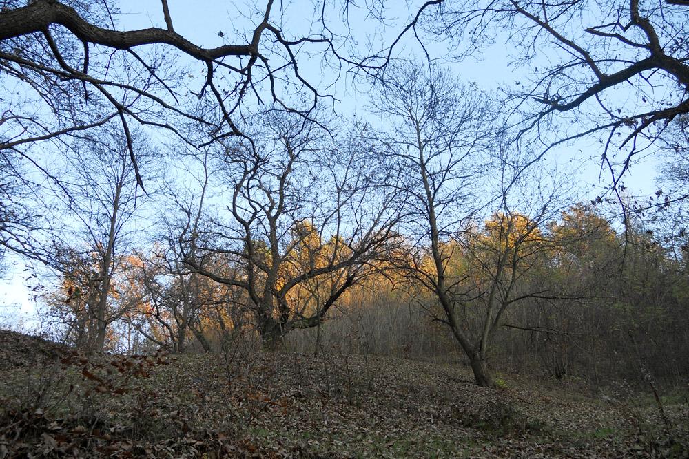
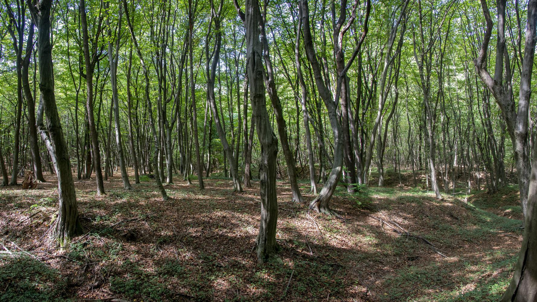
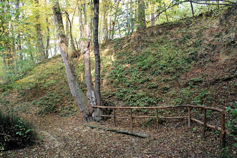
Sentiero del Lupo
The path that winds through the old wood, already known to the Romans as “silva popularis”, along the valleys of centuries-old chestnut trees that stand as sentinels to the most isolated villages.
GO TO THE TRAIL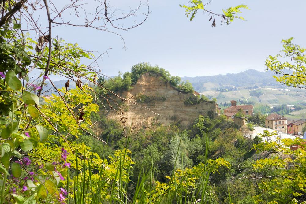
Sentiero del Gioco
A natural path starting from the intact historical centre of the village, suitable for traditional games of children and for square sports, coasting steep amphitheaters of rocks and opens on fine vineyards.
GO TO THE TRAIL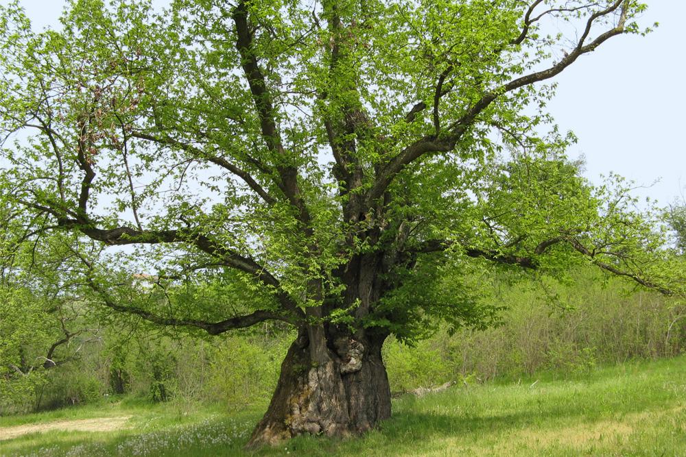
Sentiero della Castagna Granda
An easy path departing from the wood which reaches the area of the big chestnut (“castagna granda”), a real giant tree having more than 400 years whose circumference exceeds 10 meters.
GO TO THE TRAIL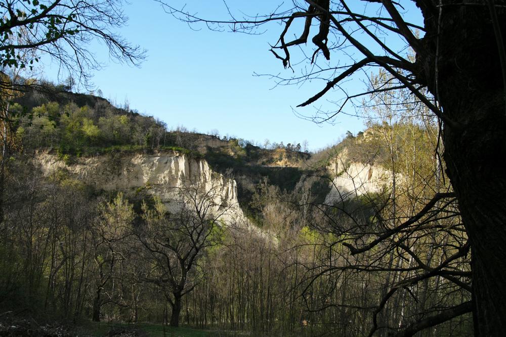
Sentiero della Fossa dei Cinghiali
Steep zig zag from the ridge to the shady bottom of the valley of Rocche, an ideal humid environment for the fauna that can find puddles and water ponds for drinking.
GO TO THE TRAIL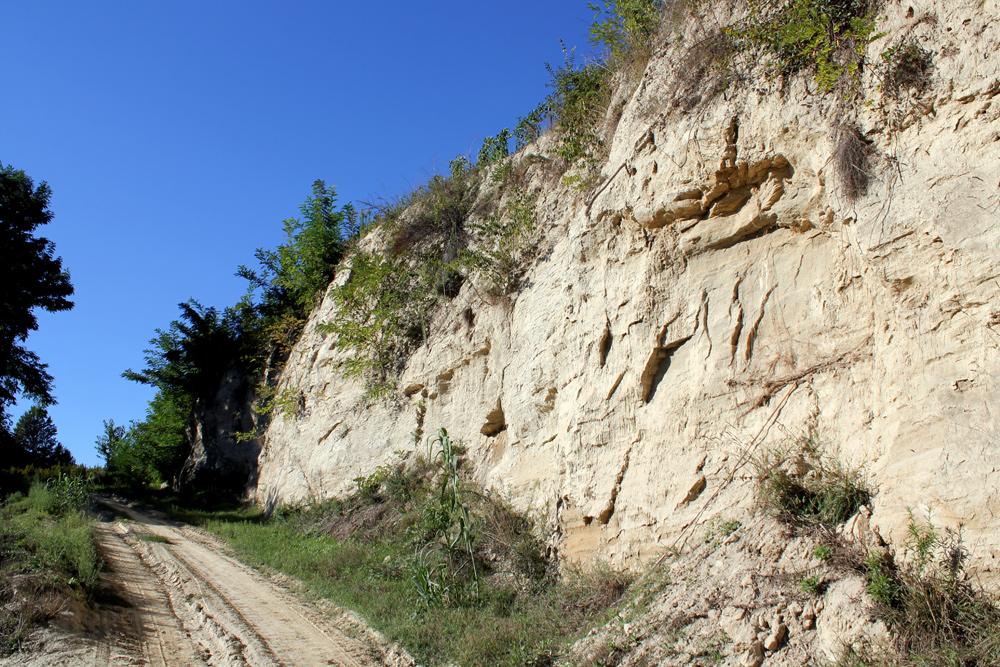
Sentiero dei Fossili
A path discovering the hidden treasure among the sandy walls of slopes, until the limits of the Cava Caudana (Caudana Cave), the richest deposit of fossils of this area.
GO TO THE TRAIL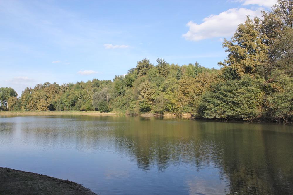
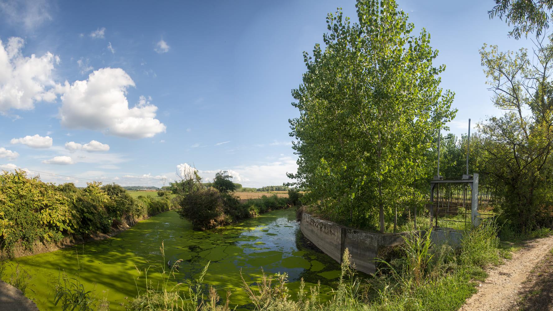
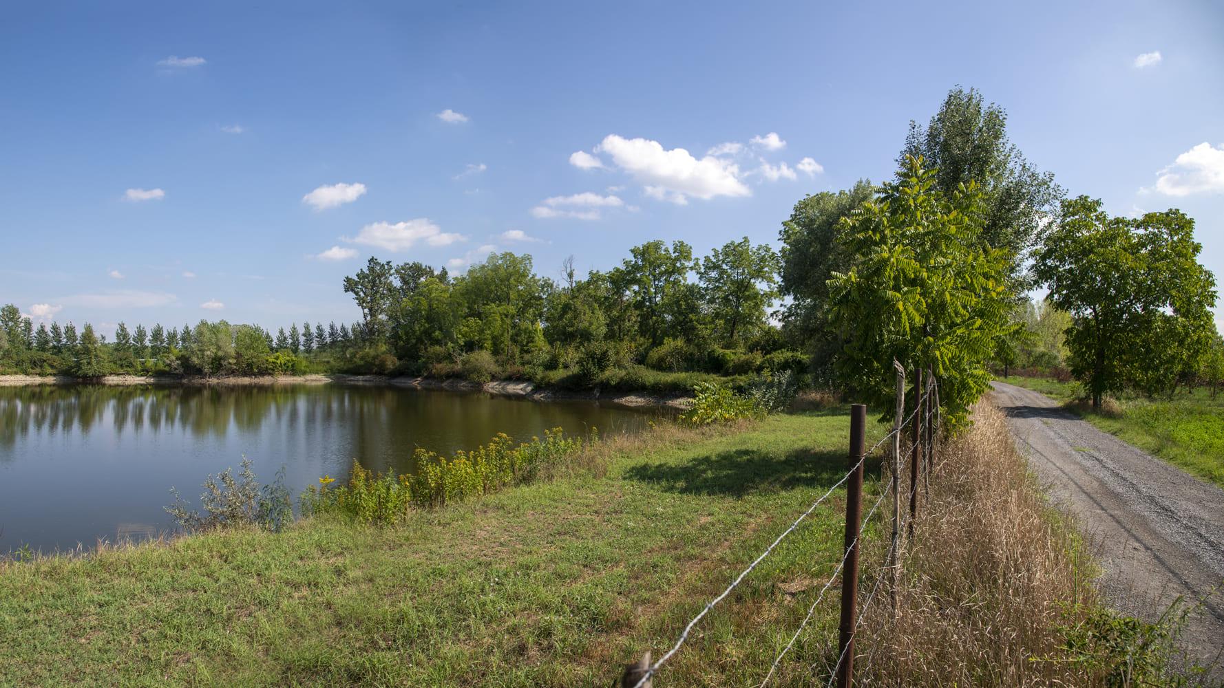
Sentiero dell'Acqua
Through the red grounds of the plateau on the North side of the village, among fish farms where tenches are raised and the near plain is surrounded by the Alpine chain.
GO TO THE TRAIL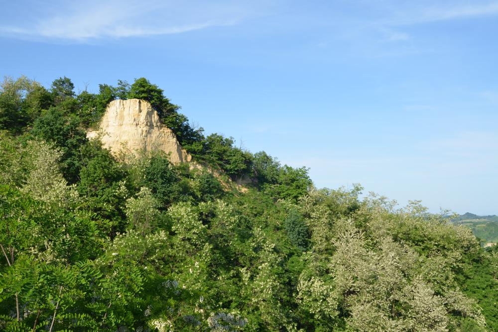
Sentiero della Masca Micilina
Its aim is to divulgate the popular stories and traditions which were a distinctive feature up to the last century the villages of Rocche. These stories of masche and witches fit this kind of area difficult and full of mystery.
GO TO THE TRAIL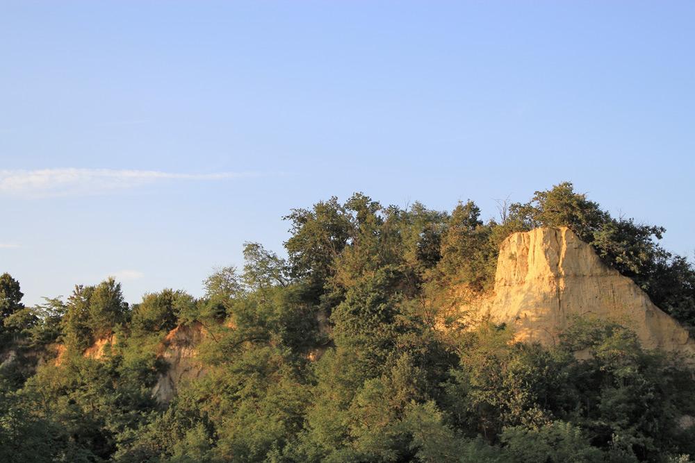
Sentiero della Rocca Creusa
Deep into the amphitheatre of the most spectacular Rocche of the area, where the vegetation hides the cave where the legendary hermit lived.
GO TO THE TRAIL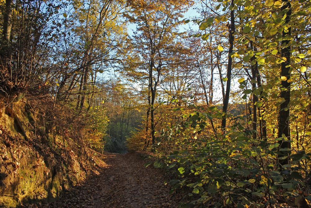
Sentiero botanico della Verna
A path which goes through three different kinds of environments of Roero with a great variety of botanical species living there: from species in the bottom of the valley such as alder (verna) to species which prefer waterless and high sites such as the Scots pine.
GO TO THE TRAIL
Sentiero della Pera madernassa.
An itinerary among little valleys cultivated as orchards and smooth plains which enhance the productions of highest value of Roero: the Madernassa pear and the accented varieties of local peaches.
GO TO THE TRAIL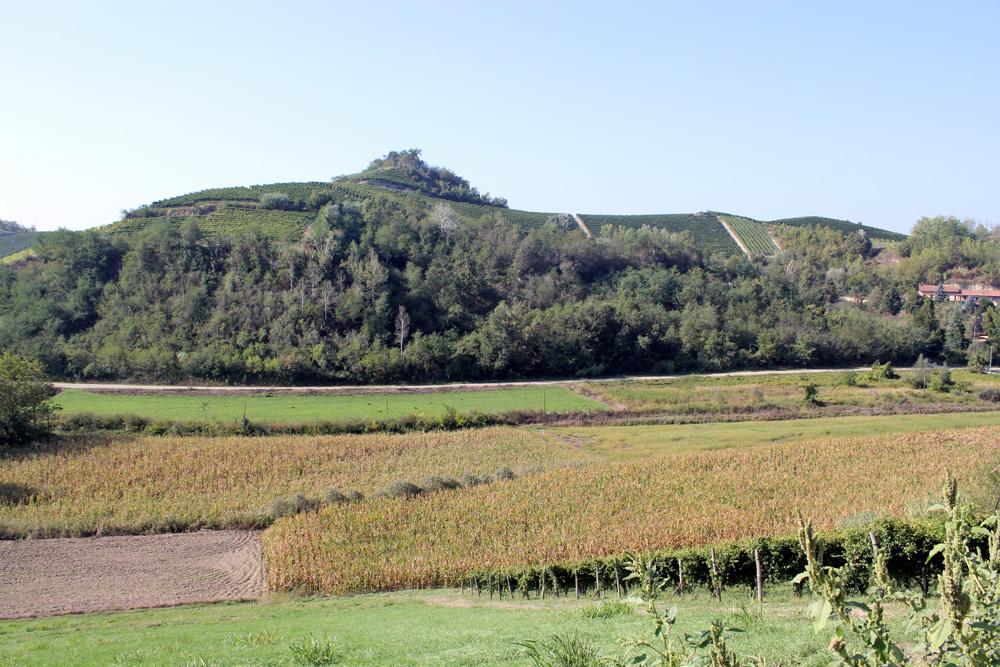
Sentiero del Trifolao
A panoramic path going through the favorite places of truffle seekers, from the hazel groves to the truffle-maker plants positioned at the bottom of the valley near the truffle-ground “Valtesio”.
GO TO THE TRAIL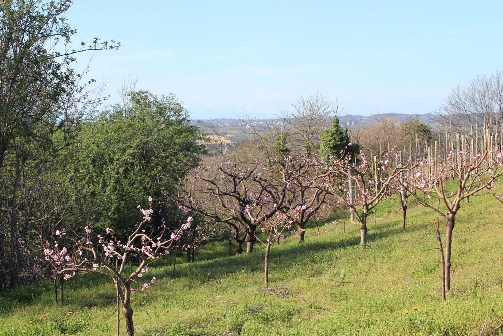
Sentiero del Tasso
Deep into a great variety of landscapes, from panoramic vineyards to a dense vegetation wherein there is the silent Sanctuary of the Madonna dei Boschi, passing through ValTassera known for its holes of badgers.
GO TO THE TRAIL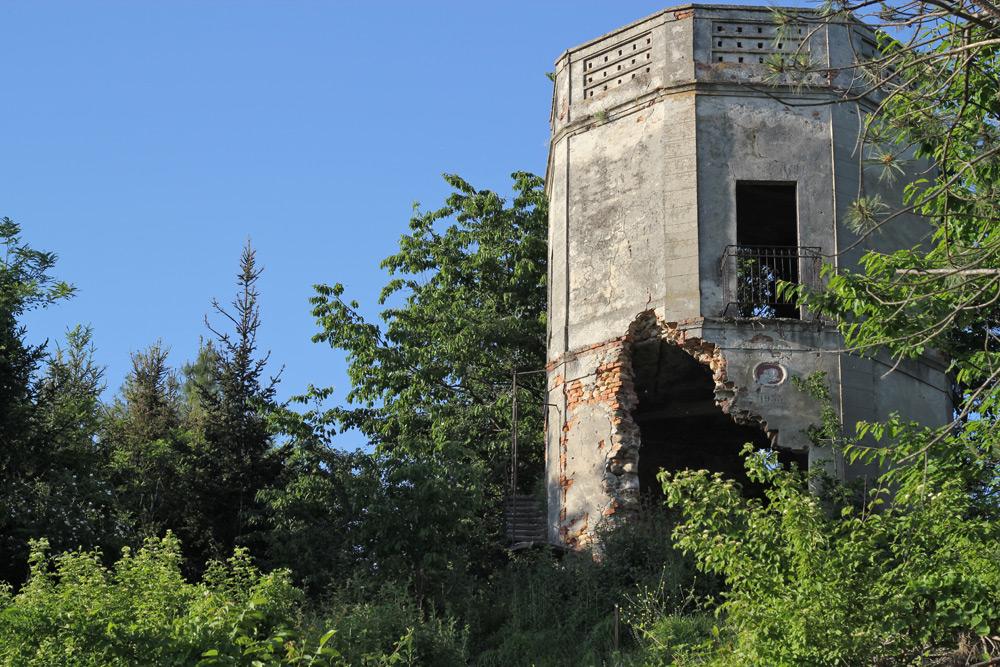
Sentiero del Torion
An easy path along the plain cultivated of stream Borbore guides to the impervious slopes of the coppice wood where clinging vineyards leave the place to the Torion pine forest.
GO TO THE TRAIL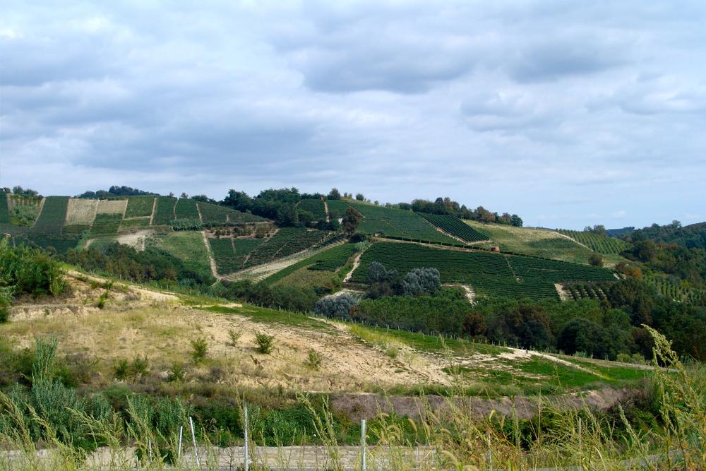
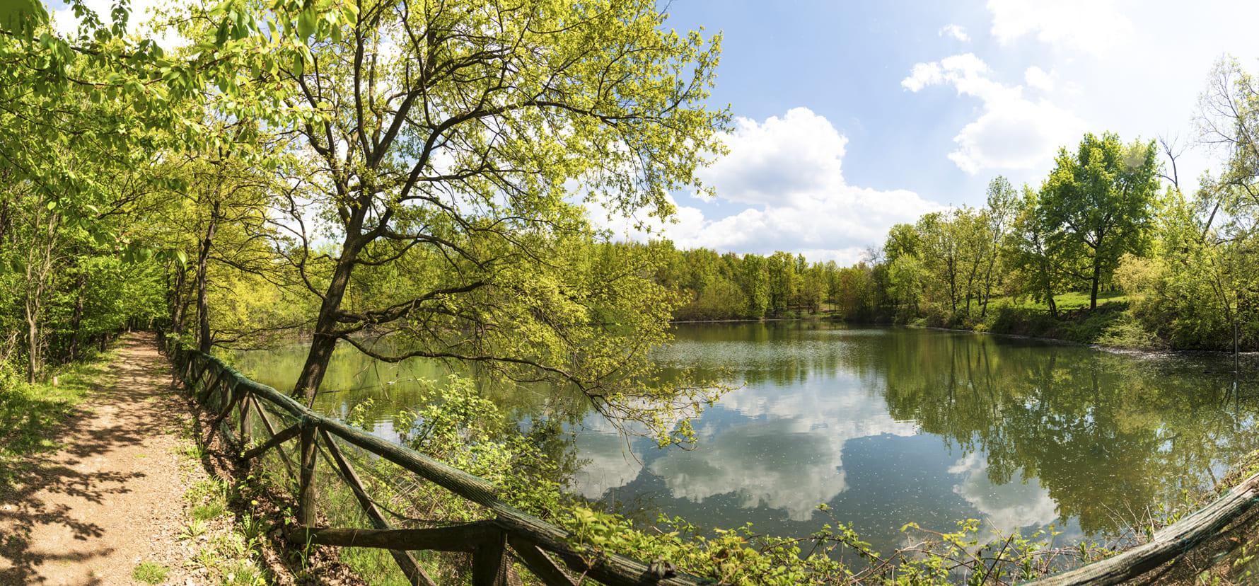
S1 - Grande Sentiero del Roero
More than one hundred and sixty hectares of wood, occupied for a third by almost secular trees, two ponds (the Lake of Brooms and the Lake of Herons), paths with walkways, parking structures, pic-nic places, a gym-sporting path with soccer field, toys and equipment for children.
GO TO THE TRAIL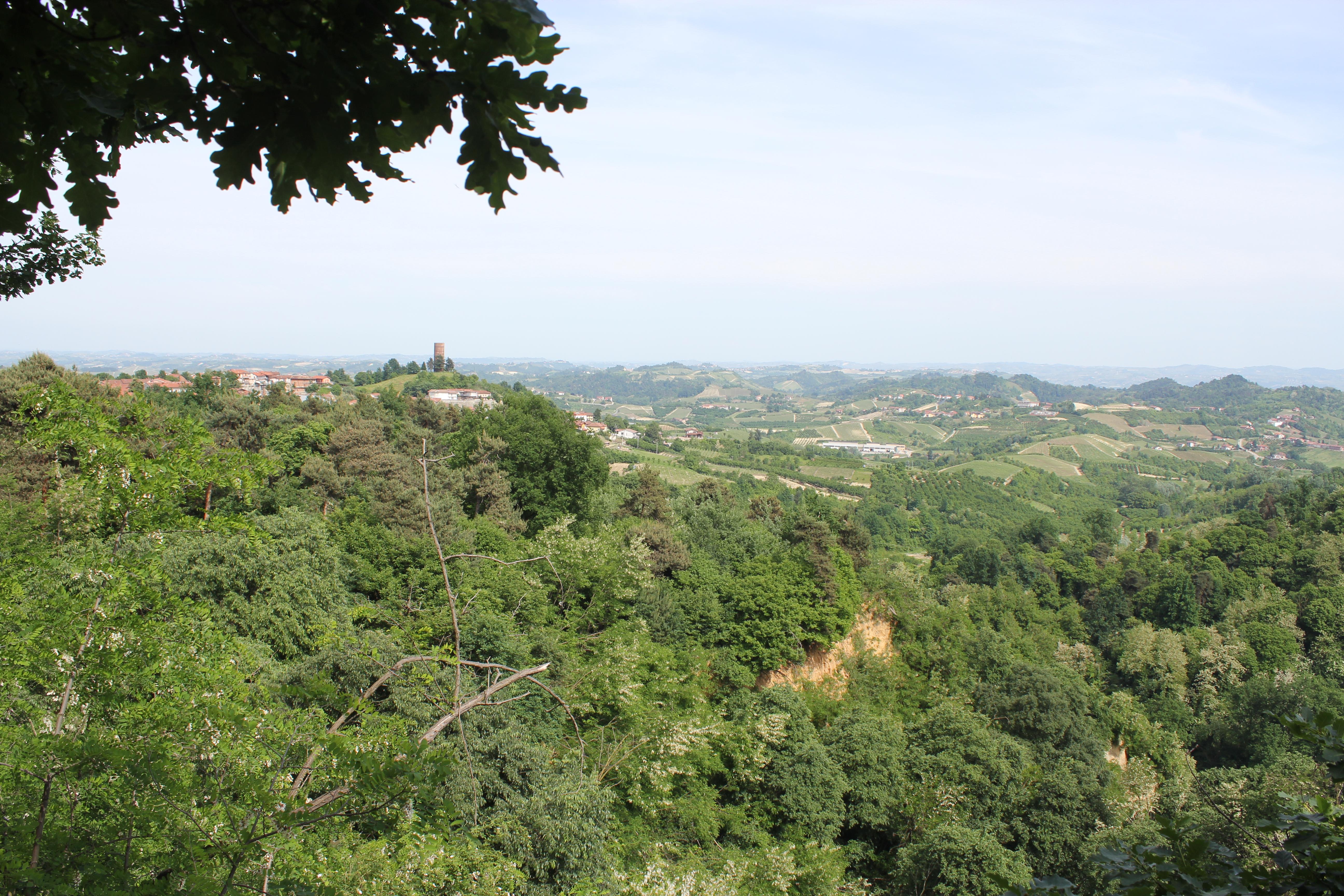
Sentiero della Rocca del Serro
Leaving from the little square in the centre of the village, the trail will lead you through woods and ancient chestnut trees, until a shady area.
From there, you will climb up again to the village, where the ancient tower stands up on the top of the hill.
Sentiero Livio Venturino
A very scenic itinerary through continuous up and downs, with spectacular views over the Rocche and over the castles of Monticello and Monteu Roero.
From the little church called “Madonna delle Grazie”, take the trail that will lead you through ancient woods of poplars and centuries-old chestnut trees, but also through orchards and wineyards.
GO TO THE TRAIL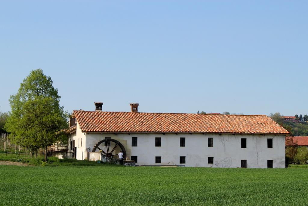
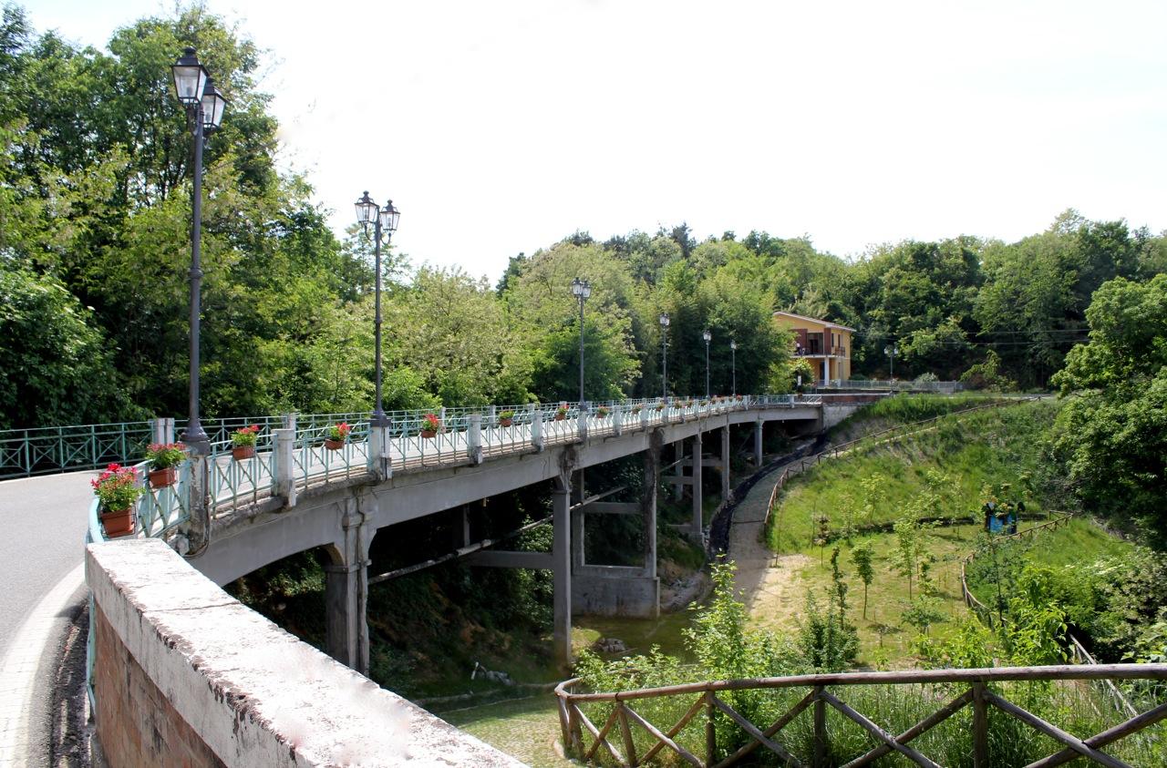
Sentiero dei Mulini
Apath that leads from Magliano Alfieri to Guarene following the old plain road near the Tanaro river and its channels, where there was a lot of popular mills.
GO TO THE TRAIL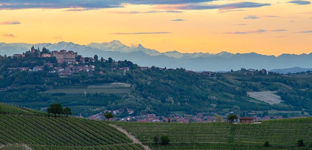
Sentiero dei Castelli
This is a path which connects the baroque residence of Alfieri family of Magliano Alfieri to the Savoy one of Govone, belonging to Unesco heritage.
GO TO THE TRAIL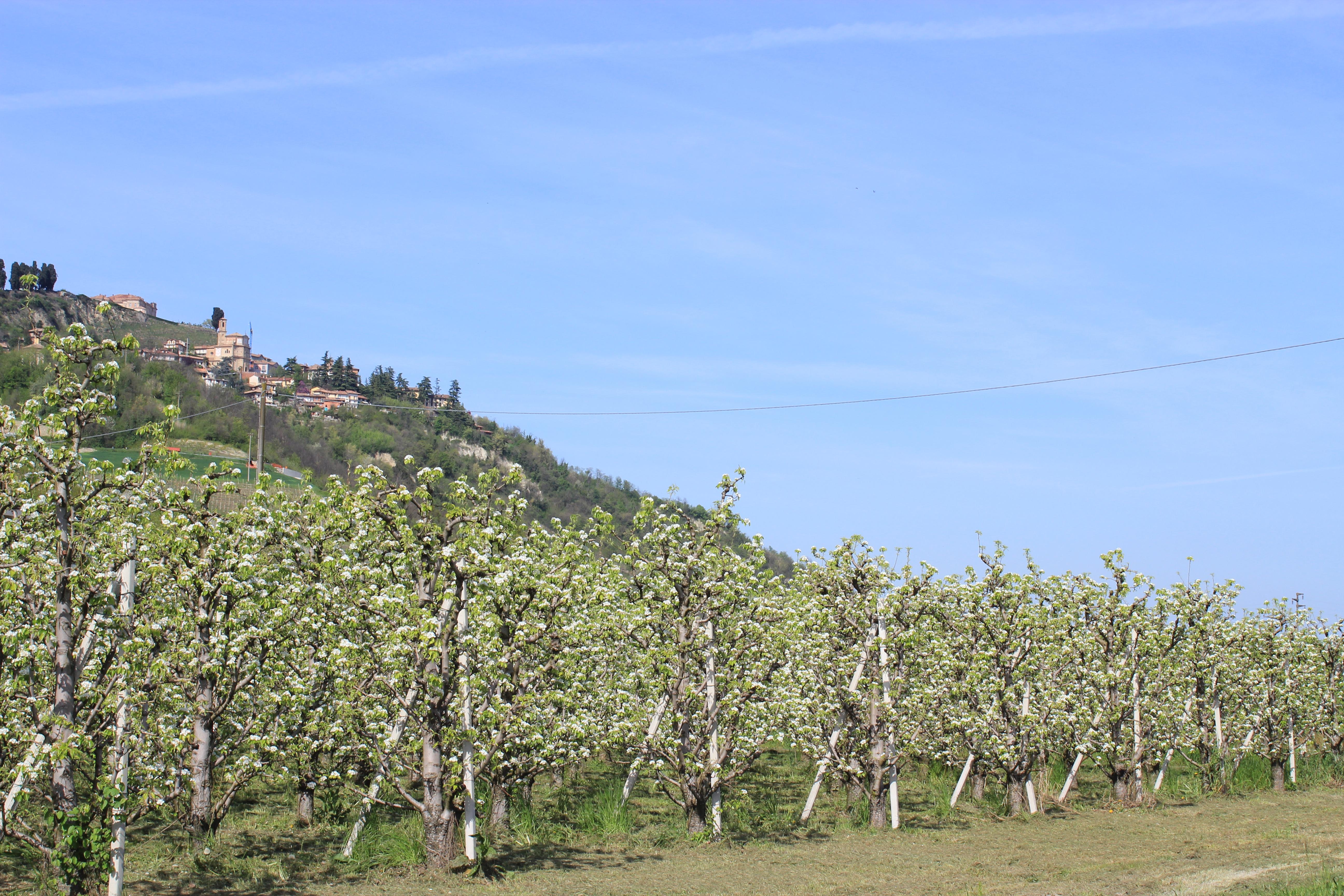
Sentiero dell'Acino
The Path of the Grape enhances the countryside planted with vineyards and orchards of the municipalities of Guarene and Castagnito. From the vineyards of these panoramic ridges, the great wines of the region are produced: the Roero d.o.c.g. and the Roero Arneis d.o.c.g.
The Path, formed by two ring-shaped paths connected between them, can be also only half walked. This path coincides for a long part with the S3 Path, the poles of which can be followed and is particularly suitable for MTB use.
GO TO THE TRAIL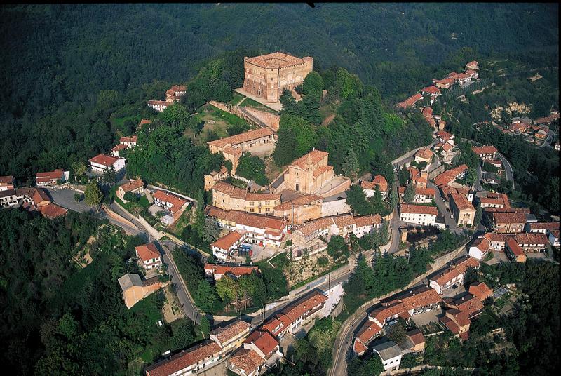
S4 - Roero Centrale
Not well-marked trail. Get your map and GPX track.
From the hilltop of S.Vittoria d'Alba to Vezza d'Alba, passing through the villages of the central part of Roero: Monticello, Corneliano and Piobesi. A panoramic walking into wild woods, vineyards and cultivated areas in the heart of Roero looking its medieval castles.
GO TO THE TRAIL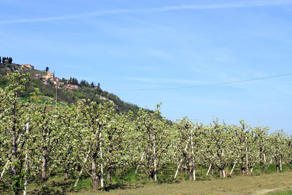
S3 - Roero Orientale
Not well-marked trail. Get your map and GPX track.
The trail runs through all the villages in the river Tanaro valley(Castagnito, Castellinaldo, Govone, Guarene, Magliano Alfieri, Priocca). Better to be done in two stages.
GO TO THE TRAIL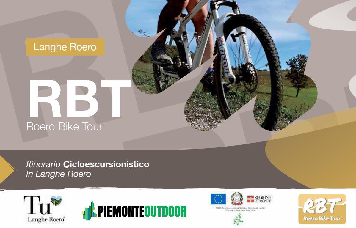
RBT - Roero Bike Tour
An itinerary that travel the whole Roero's territory, dedicated to the mountain bike or e-bike usage.
Distance: 140 km (87 mi) - Elevation: 1000 mt
Difficulty: MC (average skill level) - Path with portage needed, low traffic roads.

The 4 circuits of Roero Bike Tour
An itinerary that travel the whole Roero's territory, dedicated to the mountain bike or e-bike usage.
Distance: 140 km (87 mi) - Elevation: 1000 mt - Difficulty: MC (average skill level) - Path with portage needed, low traffic roads.
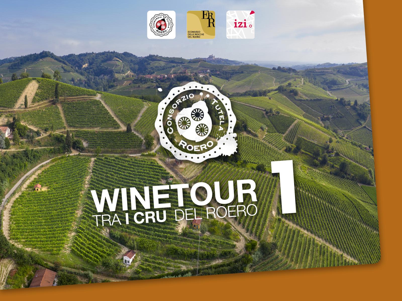
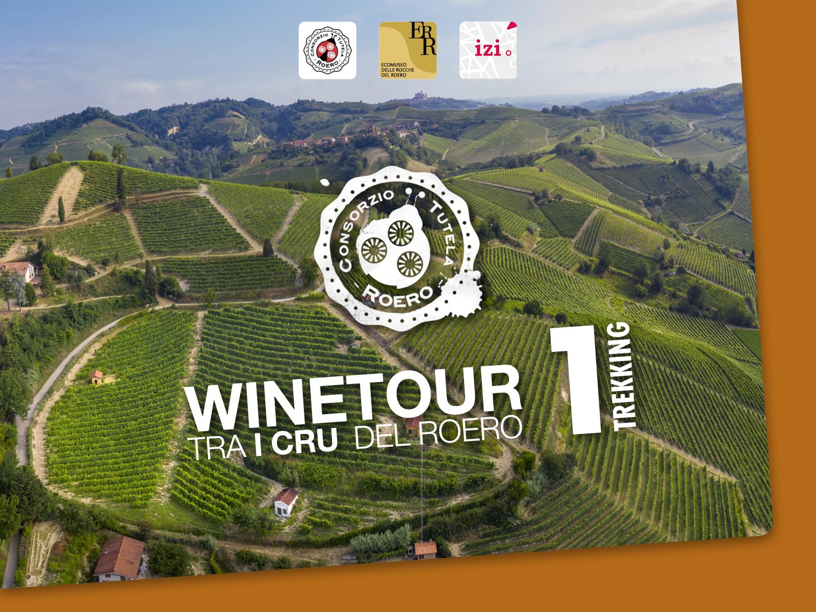
WineTour 1 – The cru where the Arneis wine was born
WineTours are 4 new trails through the geographical indications of the Roero and Roero Arneis DOCG wines - also called “cru”- among the historical vineyards and wineries associated to the Roero Producers’ Consortium.
GO TO THE TRAIL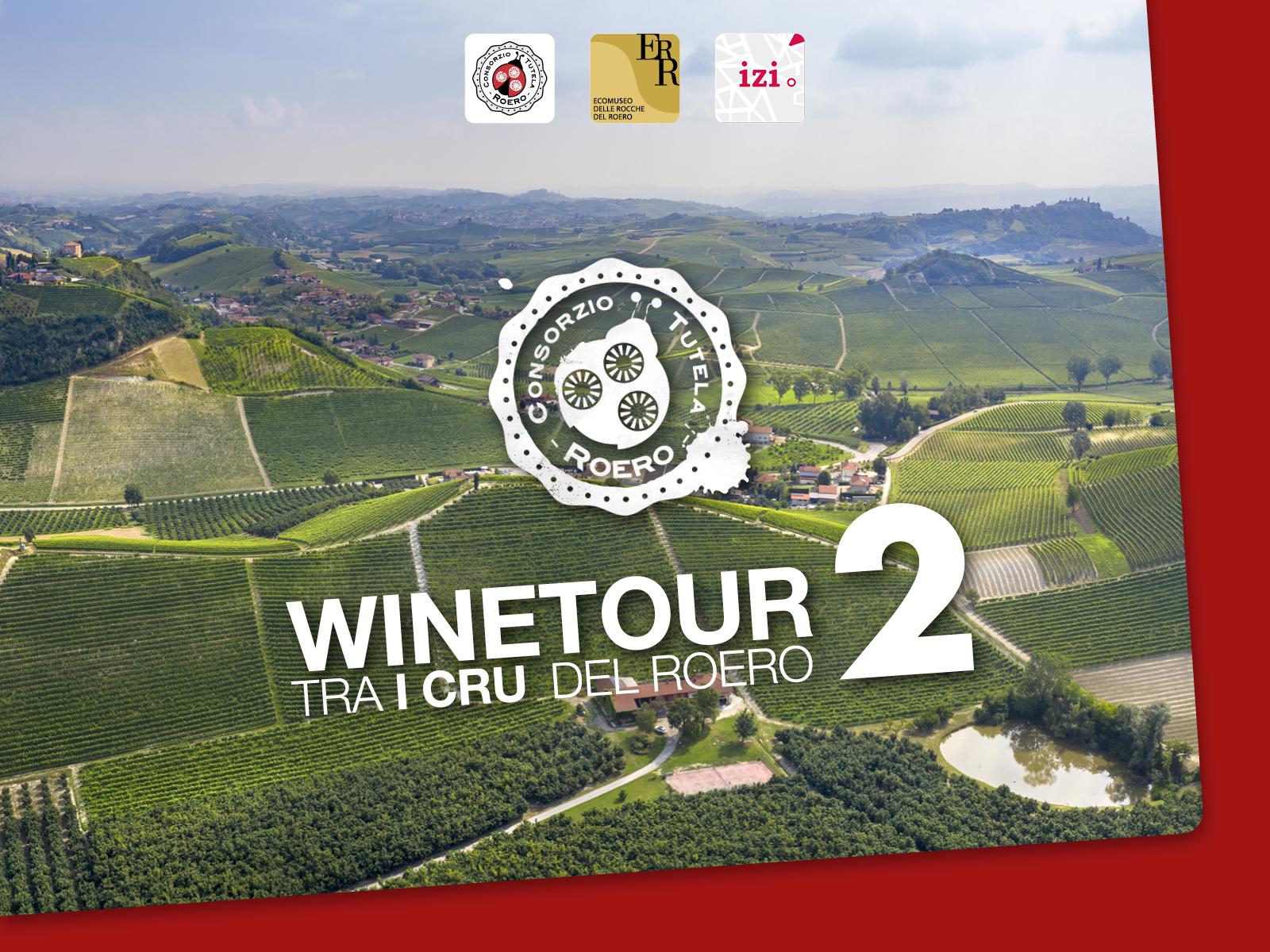
WineTour 2 – The clayey crus towards the Tanaro River
WineTours are 4 new trails through the geographical indications of the Roero and Roero Arneis DOCG wines - also called “cru”- among the historical vineyards and wineries associated to the Roero Producers’ Consortium.
GO TO THE TRAIL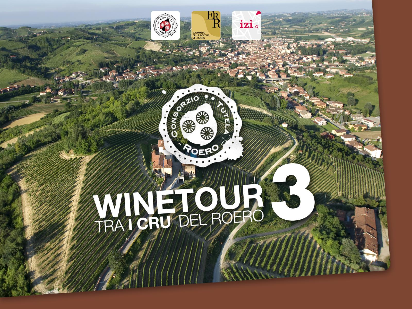
WineTour 3 – The crus at the edge of the Rocche’s area.
WineTours are 4 new trails through the geographical indications of the Roero and Roero Arneis DOCG wines - also called “cru”- among the historical vineyards and wineries associated to the Roero Producers’ Consortium.
GO TO THE TRAIL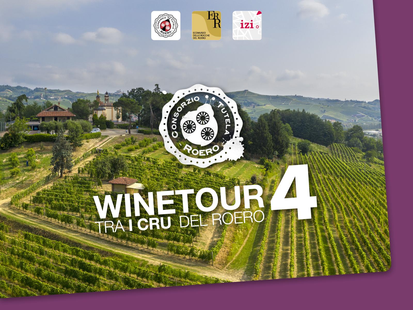
WineTour 4 – The panoramic crus of central Roero territory
WineTours are 4 new trails through the geographical indications of the Roero and Roero Arneis DOCG wines - also called “cru”- among the historical vineyards and wineries associated to the Roero Producers’ Consortium.
GO TO THE TRAIL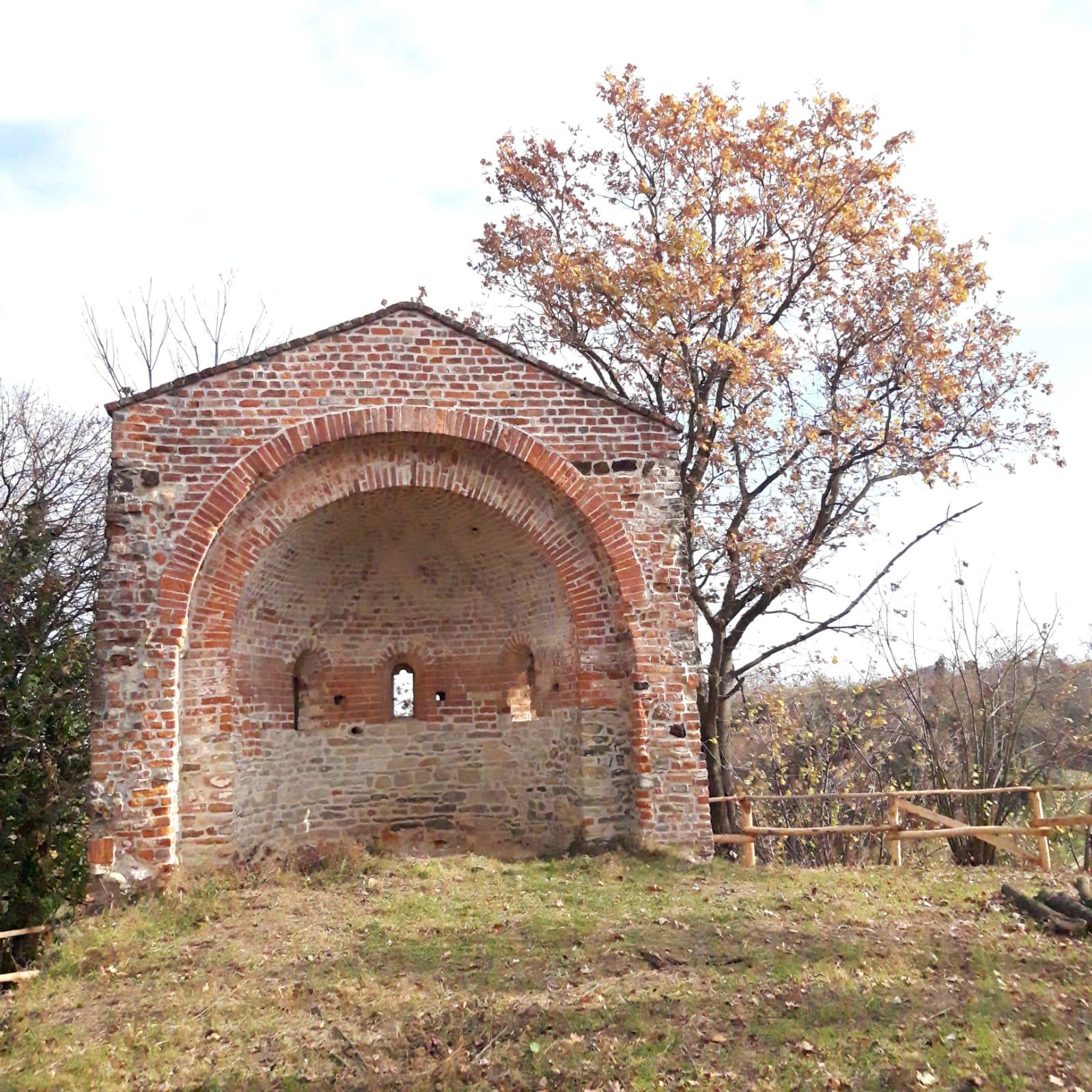
WineTour 1 – The cru where the Arneis wine was born
WineTours are 4 new trails through the geographical indications of the Roero and Roero Arneis DOCG wines - also called “cru”- among the historical vineyards and wineries associated to the Roero Producers’ Consortium.
GO TO THE TRAIL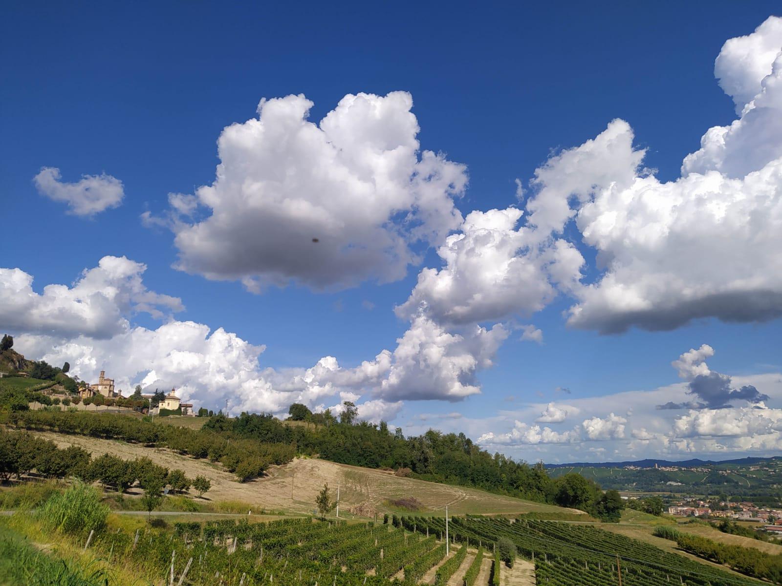
Sentiero dell'Incanto
Sentiero dell'Incanto runs along a panoramic ring around the historic centre of Guarene. A panoramic tour on the Roero hills overlooking the Tanaro with a view of the Langhe. An easy itinerary that is also suitable for families.
GO TO THE TRAIL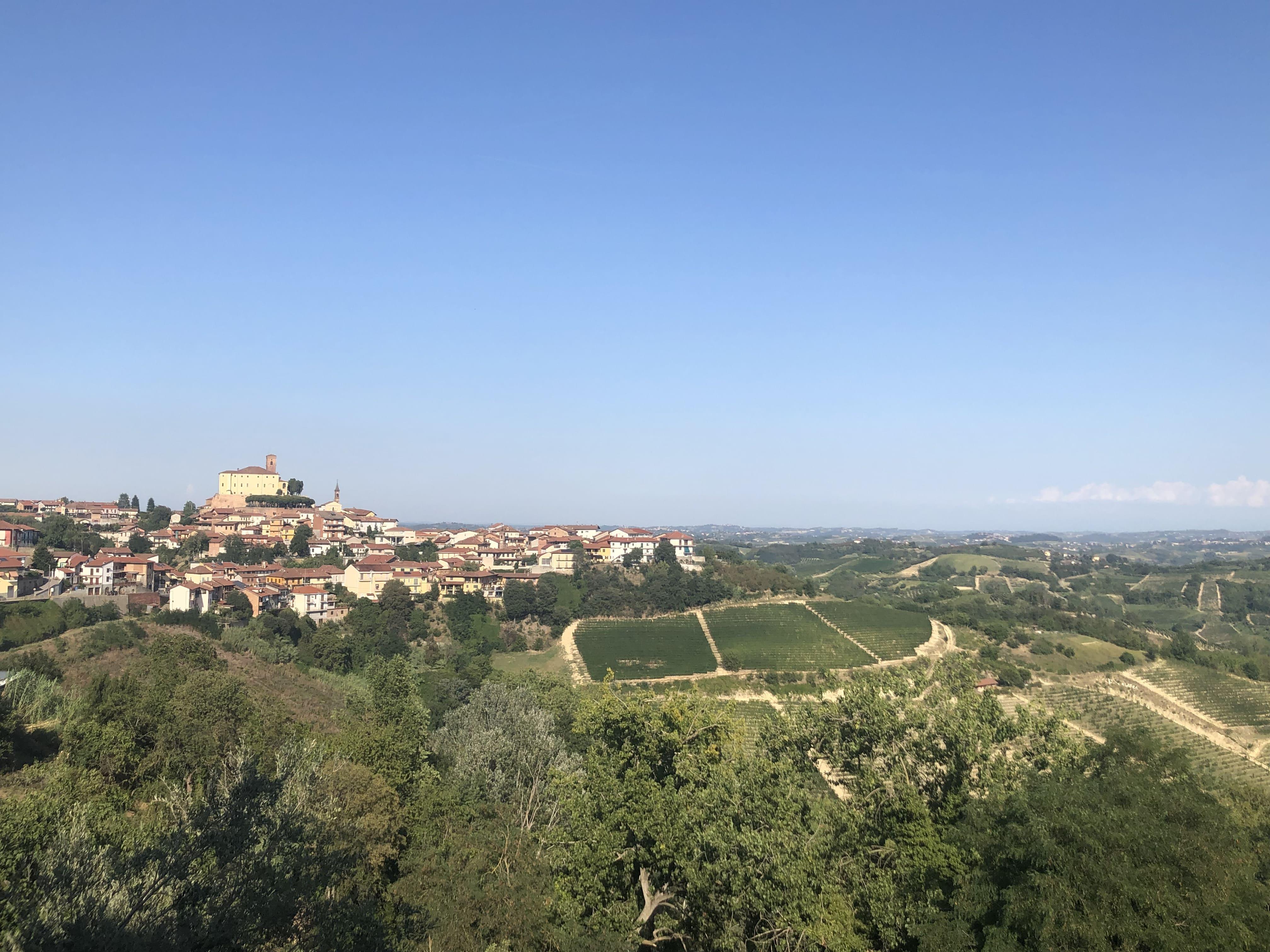
Sentiero dei Gelsi
A ring path that enhances the agricultural landscape of Cisterna d'Asti, dedicated to the mulberry plant, an autochthonous tree with characteristic white or purple blackberries, once fundamental in the peasant subsistence economy.
GO TO THE TRAIL