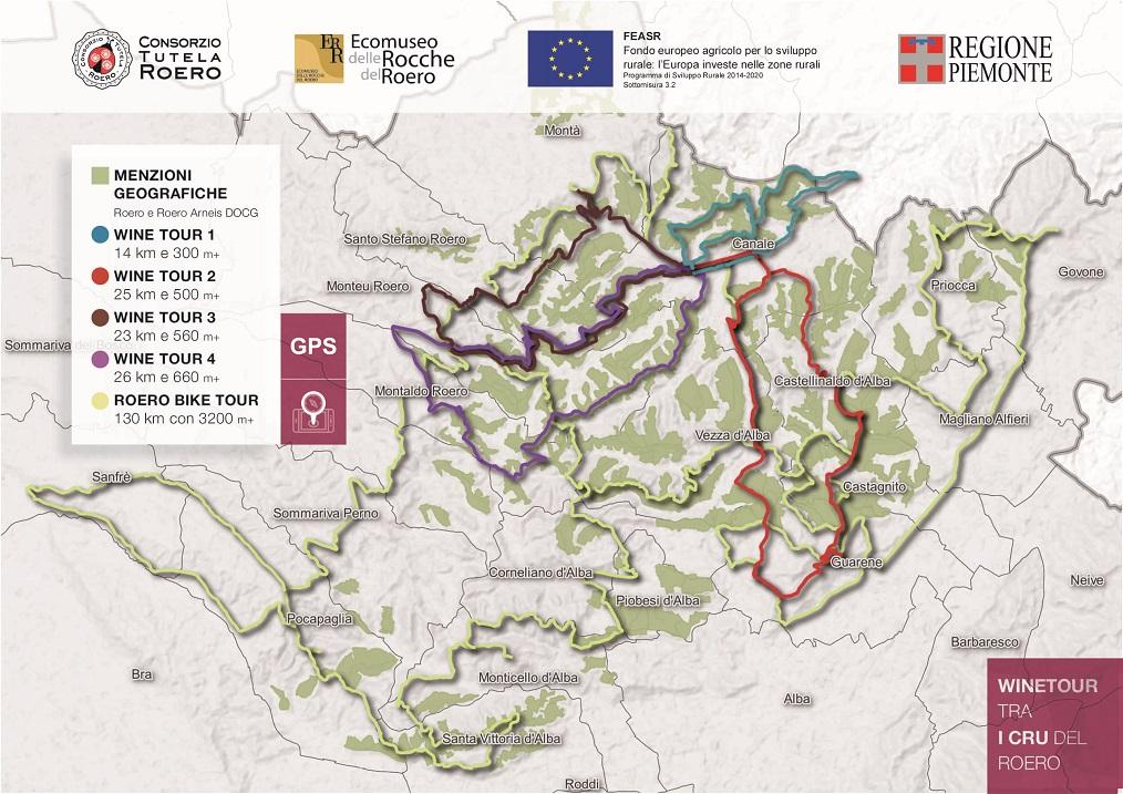
WineTour 3 - Itinerary that winds its way through the most significant crus located in towns on top of the Rocche, which is a geological erosion phenomenon that characterizes Monta’, Santo Stefano Roero and Monteu Roero, where sandy inaccessible cliffs show themselves, wild, among the cultivated plots.
The Path is NOT marked out: it is recommended to use the GPX track or the audio guide with integrated geolocated map, available on the Izi.Travel smartphone app, freely downloadable on your mobile phone:
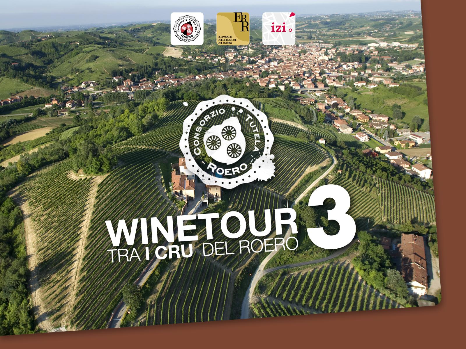
WineTour 3 - The sandy crus at the edge of the Rocche’s area
ITINERARY
Starting from Old Town Canale, walkers have to follow directions to Monta’ through Via Torino, in a progressive zigzag that goes all the way up soft hills and skirts the Lamonta’ cru. Then, turning left, they leave the paved road to walk on the unpaved path, crossing a little stretch full of mixed vegetation, to get to a valley road that runs alongside Bric Valdiana and Valteppe cru.
A pretty steep ascent makes the walkers cross the entire Corso cru and enter Santo Stefano Roero’s council. Here, they enter directly San Antonio cru and, proceeding towards Monfriggio ridge, they get to barely touch San Grato before entering Old Town Santo Stefano.
After getting past the ascent with the pedestrian square of Santa Maria del Podio on the right, walkers keep on going towards the sp110 that faces the Rocche cliffs, to then turn left towards the village called Carretta, walking on a path, surrounded by the woods, that leads them to the “Castagna Granda” (“Big Chestnut Tree”) of Monteu Roero, which is a 400 years old vegetable giant.
After a bit of exploring secluded woods and centuries-old chestnut trees nearby the Rocche, walkers get to the village on top of the hill called Monteu Roero, built almost on the edge of the sandy and vertical cliffs, overlooked by the medieval castle. Following that, they enter a zone which is full of additional geographic indications: starting off from Anime Nere, they keep on walking alongside Ciabot San Giorgio, which is the site of the disappeared Pulciano’s castle (1oth century), entering then the wide San Michele (whose major extension is a part of Canale’s land), which is overlooked by a parish church that stands isolated as a sentinel of the territory.
After that, walkers skirt Bricco Braida and scramble on the panoramic ridge that crosses Anime and S.S. Trinita’ crus, going then back to Canale and to its elegant arcades.
This itinerary lets walkers admire the evocative back ridge of the Roero Rocche from up close, area in which the biggest soil component is sand. The expositions are obviously variable depending on each cru, but it’s the south that prevails for most of the vineyards. It’s a warm and sandy zone, that can get dry because of the lack of summer rainfalls, with wines remarkably rich in flavors.
WARNINGS
The Path is NOT marked out: it is recommended to use the map, the GPX track or the audio guide with integrated geolocated map, available on the Izi.Travel smartphone app, freely downloadable on your mobile phone: WineTour 3 - The sandy crus at the edge of the Rocche’s area
Some sections of the path can be challenging and technical for use by mountain bike by people with little familiarity with the vehicle.
We recommend to provide you the map of the trail you are going to walk, to equip you with hiking shoes suitable for dirt and, eventually, with trekking poles. In spring/summer is better to have water with you and some energizing food.
Please consult meteorological websites before leaving, and contact the Ecomuseum office or visite our website to verify the trails conditions.
For people allergic to insects bites or pollens is advised to have with you medicinal products to prevent inhalings or bites.
Before leaving, tell someone your destination or the trail you want to walk, in order to simplify first aid assistance in case of necessity.