Not well-marked trail. Get your map and GPX track.
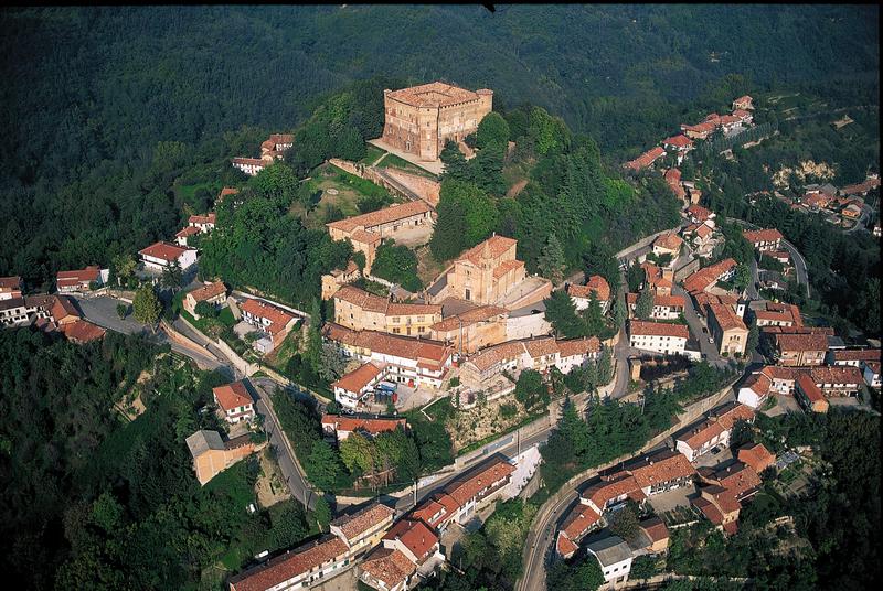
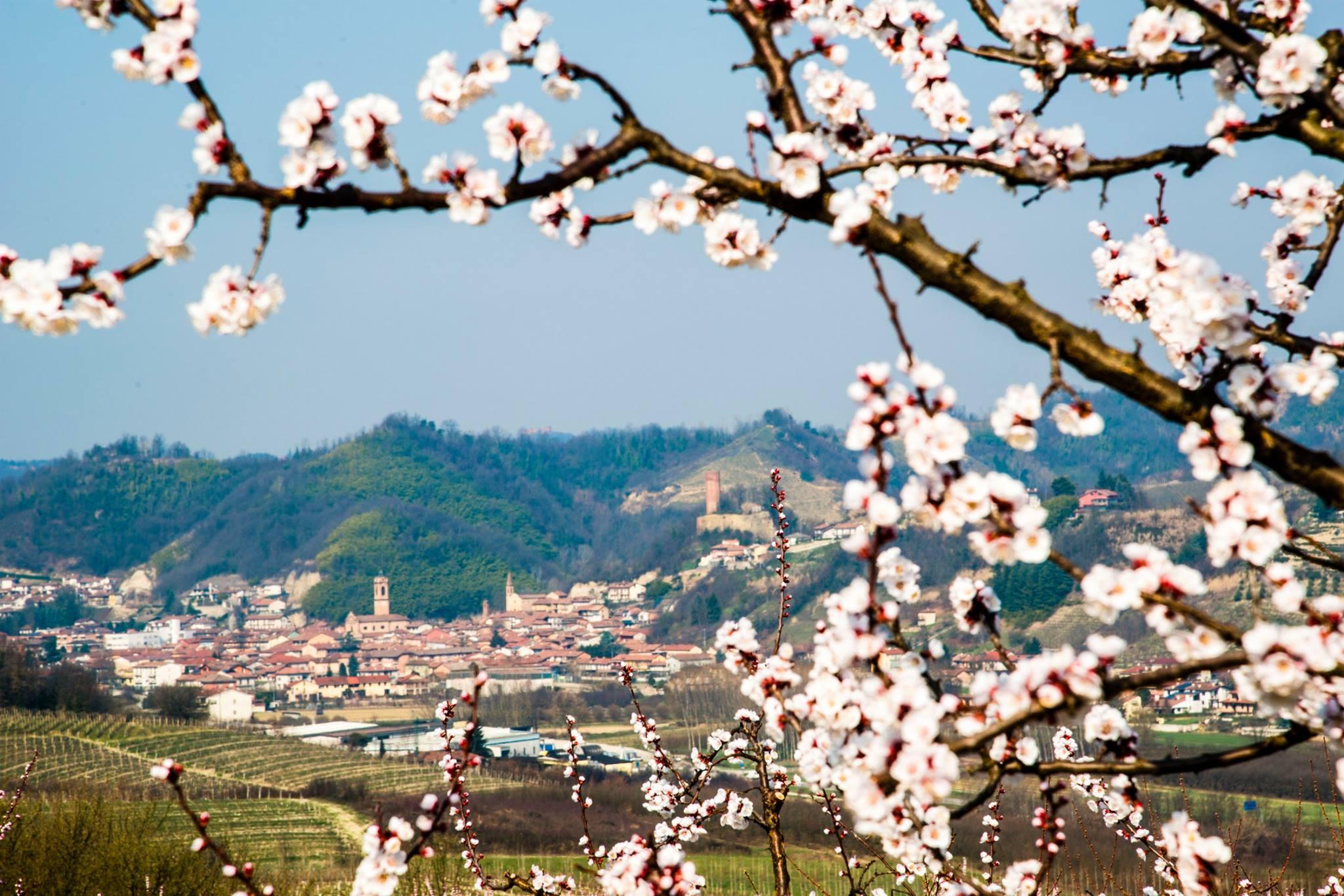
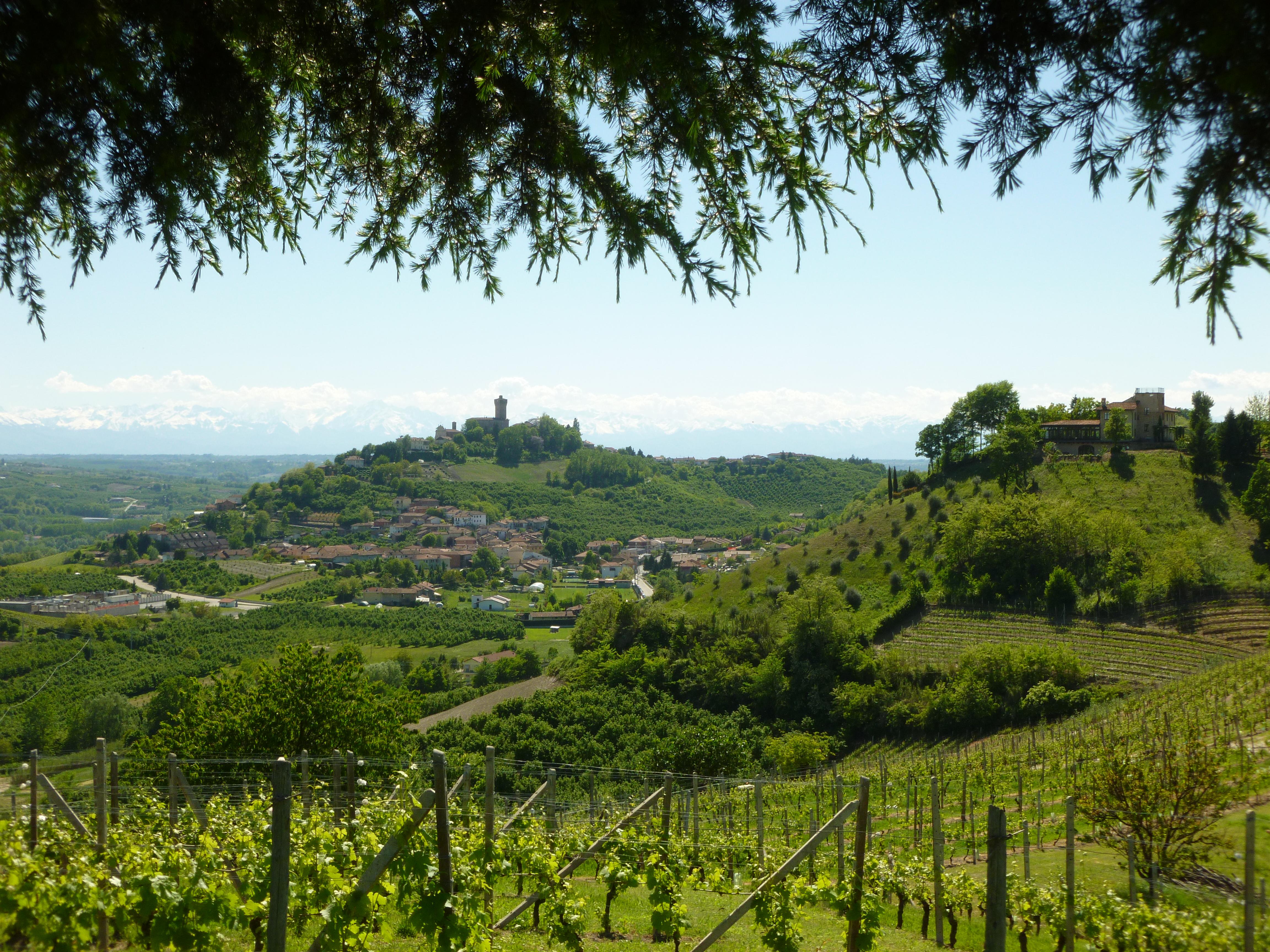
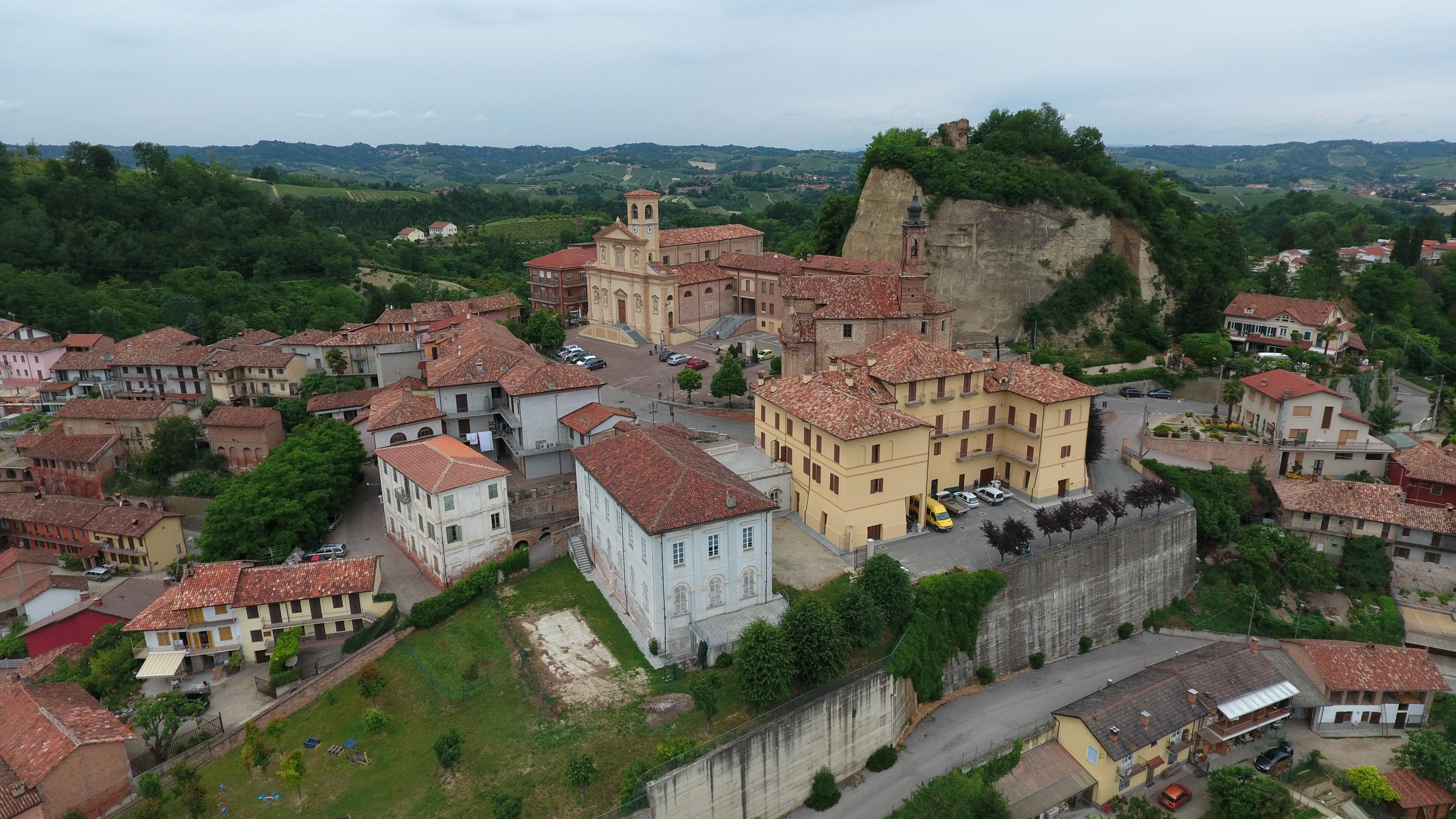
From the hilltop of S.Vittoria d'Alba to Vezza d'Alba, passing through the villages of the central part of Roero: Monticello, Corneliano and Piobesi. A panoramic walking into wild woods, vineyards and cultivated areas in the heart of Roero looking its medieval castles.
ITINERARY
Not well-marked trail. Get your map and GPX track.
From the hilltop of S.Vittoria d'Alba to Vezza d'Alba, passing through the villages of the central part of Roero: Monticello, Corneliano and Piobesi. A panoramic walking into wild woods, vineyards and cultivated areas in the heart of Roero looking its medieval castles.
WARNINGS
Not well-marked trail. Get your map and GPX track.
The Roero trail network is planned to discover the paths by your own.
The trails are signposted with arrows and illustrative boards, in order to walk in the proper direction and in safety.
Please consider your physical abilities before starting a walk.
We recommend to provide you the map of the trail you are going to walk, to equip you with hiking shoes suitable for dirt and, eventually, with trekking poles.
In spring/summer is better to have water with you and some energizing food.
Please consult meteorological websites before leaving, and contact the Ecomuseum office or visite our website to verify the trails conditions.
For people allergic to insects bites or pollens is advised to have with you medicinal products to prevent inhalings or bites.
Before leaving, tell someone your destination or the trail you want to walk, in order to simplify first aid assistance in case of necessity.