tematic area - Discovering the Rocche
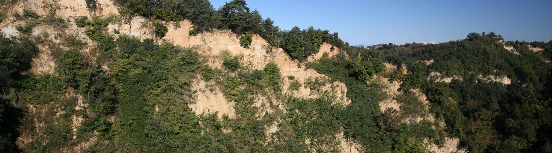
Canyons and ravines, pinnacles and sandy cliff faces that pass through Roero soft hills for 35 km. Rocche are a geologic erosion phenomenon that originates in the mists of times and today still continues to influence our lives. The Ecomuseum of the Rocche of Roero has activated a network of thematic paths that delve into Rocche ecosystem and permit to discover the environmental varieties, the cultivations and the traditions of the Roero.
To discover panoramas and wild nature of Rocche you can:
- Book an exciting hiking tour with a naturalistic guide, to find out where fossils hide under the soil, to identify wild animals tracks and to learn the botanic species of Roero.
- Go independently along the Ecomuseum Paths with a GPS audioguide which tells you the peculiar theme of the trail, botany or fauna characteristics, local legends and story-tellings. Together with the audioguide you’ll receive the complete map of Roero Trail Network.
Tours and activities
ON THE PATHS IN MOUNTAIN BIKE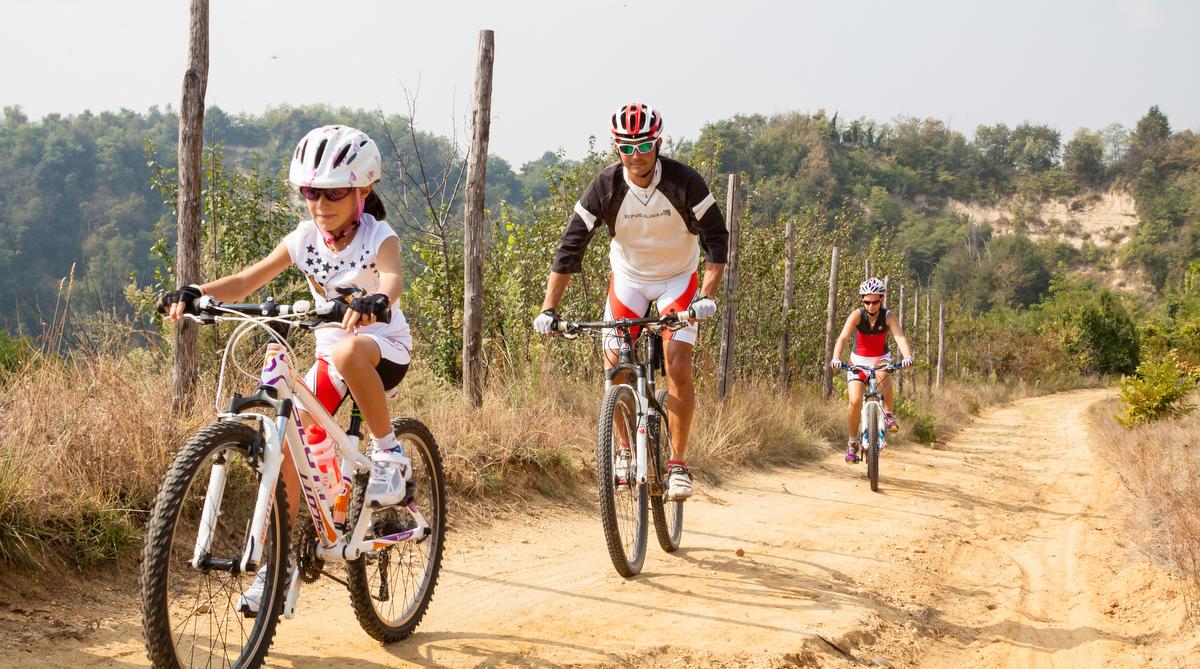
ON THE PATHS IN MOUNTAIN BIKE
The Rocche and their panoramas are still more engaging if discovered by mountain bike with the light winds caressing your face. The cycling escort will know how to adapt the itinerary according to your needs: either you are bike [...]
GO TO PROPOSAL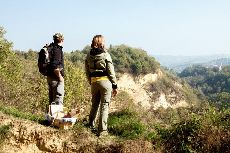
BIO PIC-NIC ON THE PATH OR IN THE
Would you like to indulge your desire of walking without considering a packed lunch? On the thematic paths of the Ecomuseum it is possible to book the Bio picnic pack ahead of time that you will carry and consume in a pleasant [...]
GO TO PROPOSAL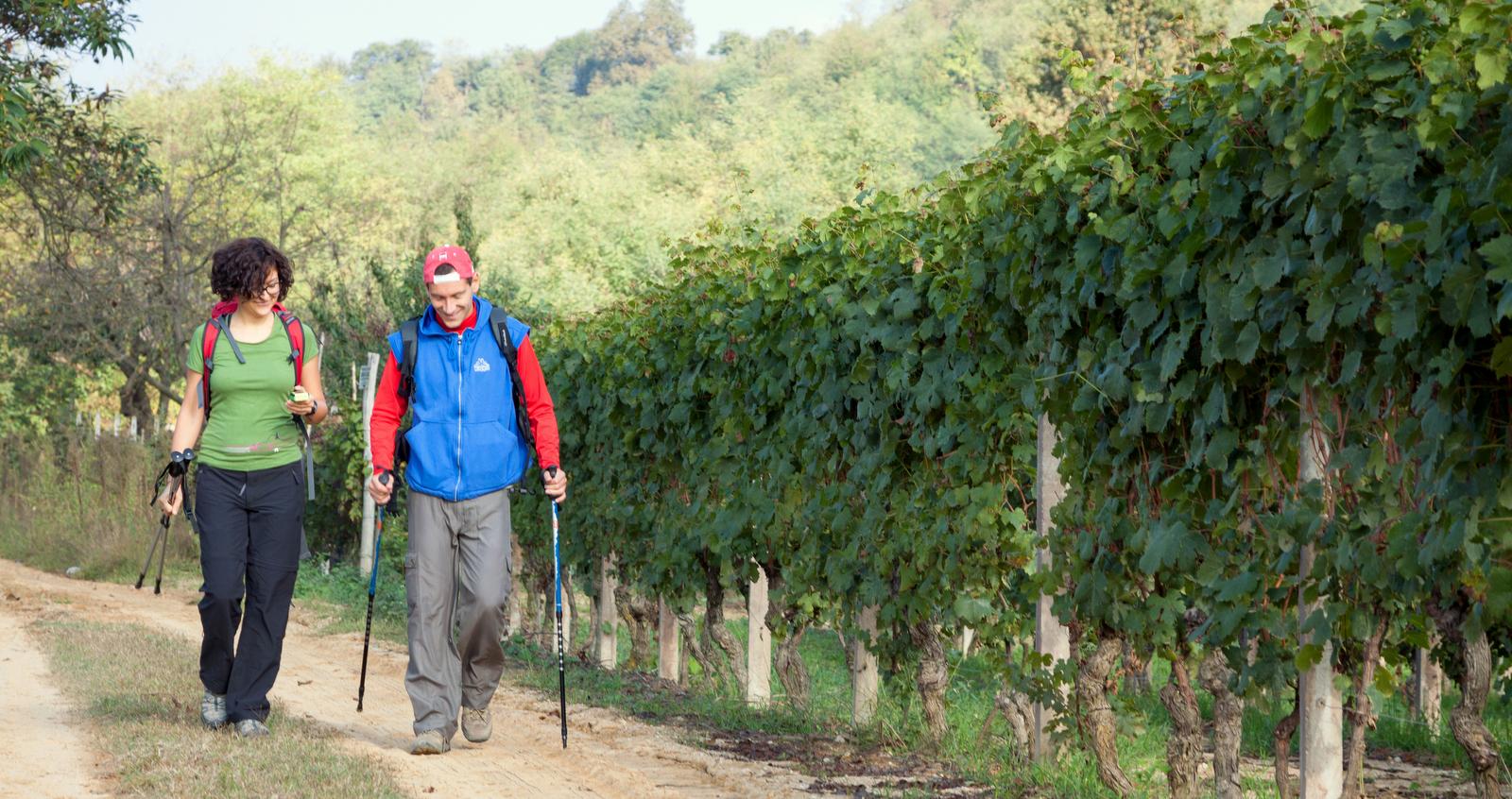
ACCOMPANIED EXPLORING TREKKING
The Ecomuseum is an open air museum among the Rocche, woods, vineyards, orchards and red soils. The best way to discover the most suggestive and panoramic corners is to be accompanied in a thematic trekking by a professional [...]
GO TO PROPOSAL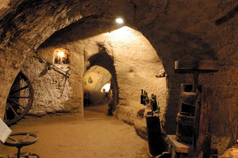
COCKTAIL WITH THE WITCH
You will visit the "crotin" of Monteu Roero, small cellars dug in the soil that evoke witches tails, and you will taste DOCG wines of Roero with appetizers and local products. But be aware of the unexpected presences! The [...]
GO TO PROPOSAL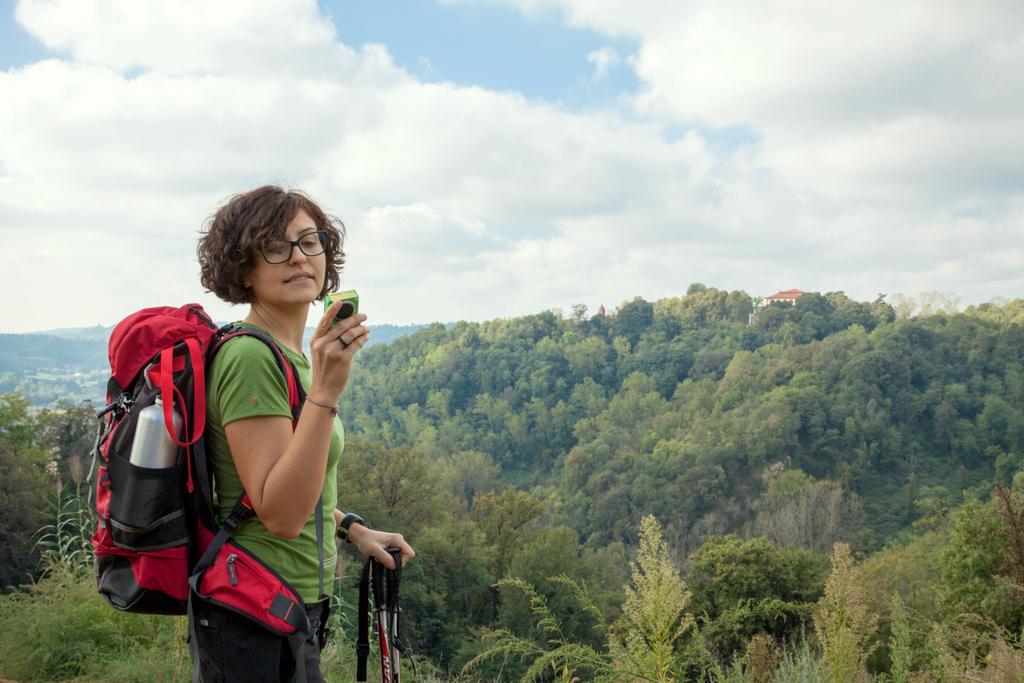
MP3 AUDIO GUIDES OF THE PATHS
While you walk freely according to your own rhythms, a narrating voice will tell you what you see, including curiosities and stories in order to understand the peculiarities of Roero region. For an interactive excursion, that [...]
GO TO PROPOSALWe suggest you the thematic paths with the best views on Rocche’s cliffs and some activity to discover the treasures of Rocche area:
theme trails
Sentiero degli Asfodeli / S2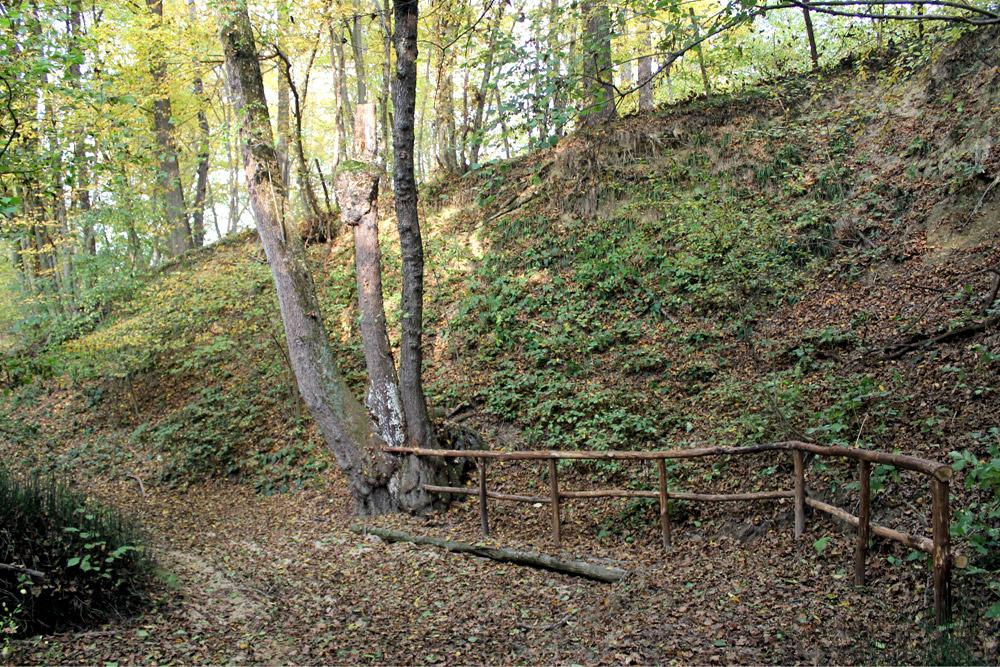
Sentiero degli Asfodeli / S2
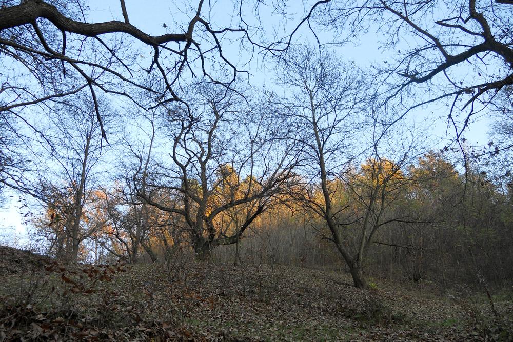
A path deep into the heart of the ancient silva popularis, the primigenial wood of Roero which according to the different seasons, offers scented wild fruits, mushrooms, lawns of periwinkles, anemones, lilies of the valley and asphodels.
GO TO THE TRAIL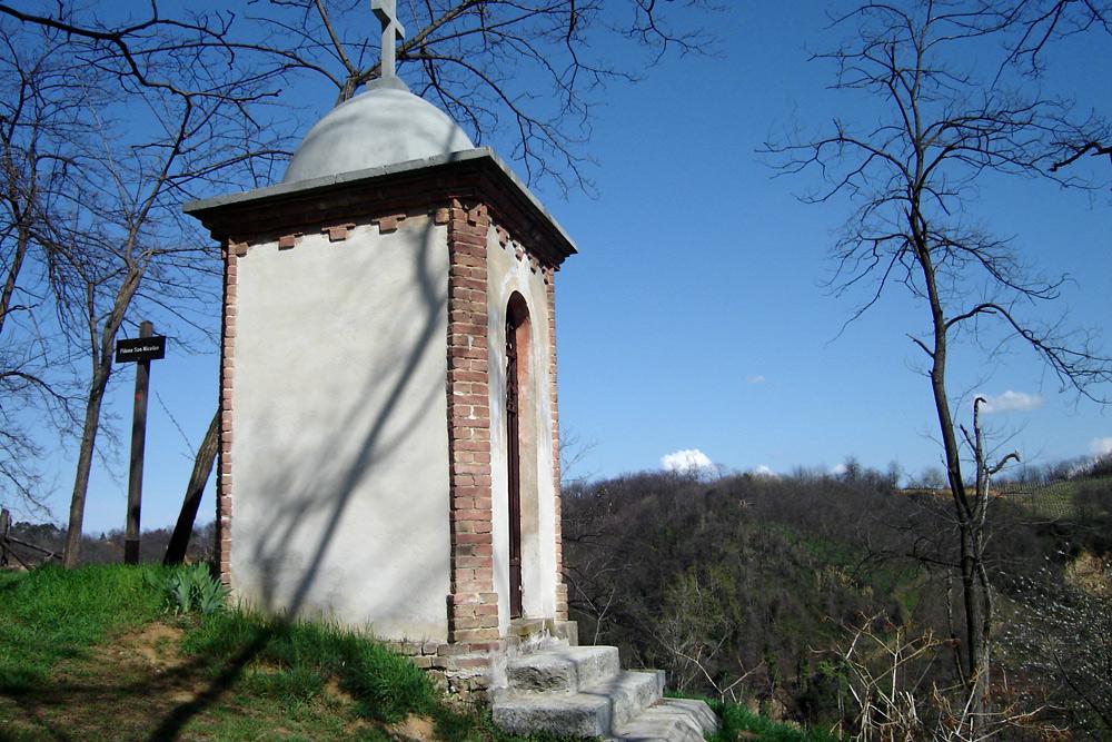
Sentiero del Castagno
A paradise of contrasting surroundings, from hills with vineyards and orchards to wet areas of the biotopes, through ancient chestnut groves and votive shrines.
Sentiero del Lupo
The path that winds through the old wood, already known to the Romans as “silva popularis”, along the valleys of centuries-old chestnut trees that stand as sentinels to the most isolated villages.
GO TO THE TRAIL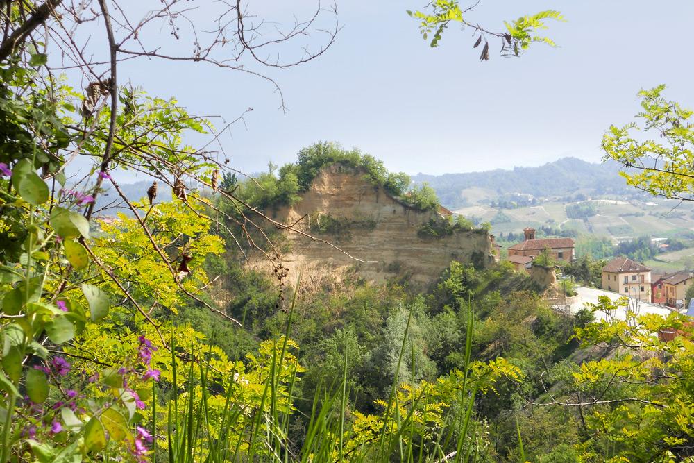
Sentiero del Gioco
A natural path starting from the intact historical centre of the village, suitable for traditional games of children and for square sports, coasting steep amphitheaters of rocks and opens on fine vineyards.
GO TO THE TRAIL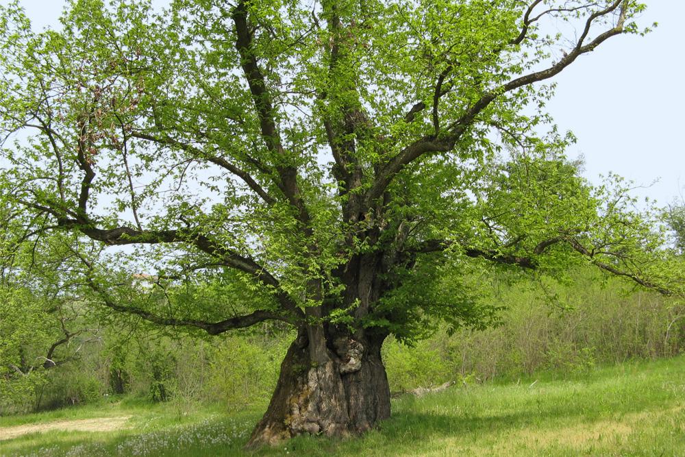
Sentiero della Castagna Granda
An easy path departing from the wood which reaches the area of the big chestnut (“castagna granda”), a real giant tree having more than 400 years whose circumference exceeds 10 meters.
GO TO THE TRAIL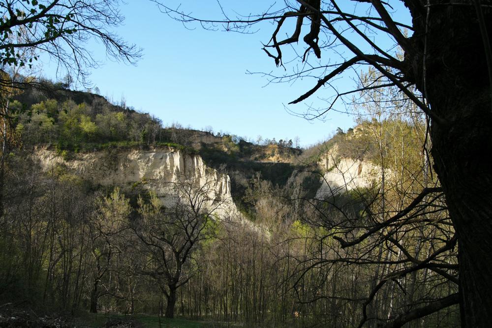
Sentiero della Fossa dei Cinghiali
Steep zig zag from the ridge to the shady bottom of the valley of Rocche, an ideal humid environment for the fauna that can find puddles and water ponds for drinking.
GO TO THE TRAIL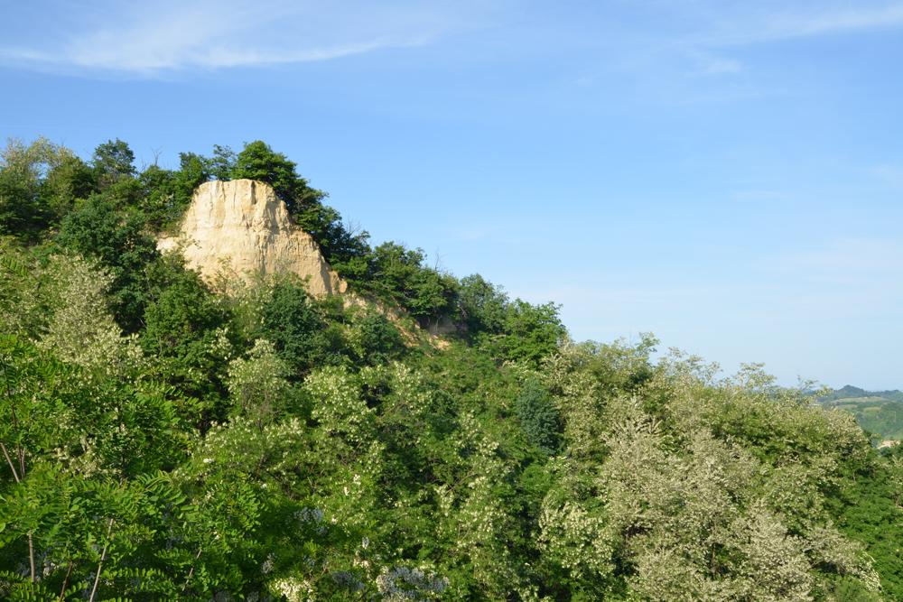
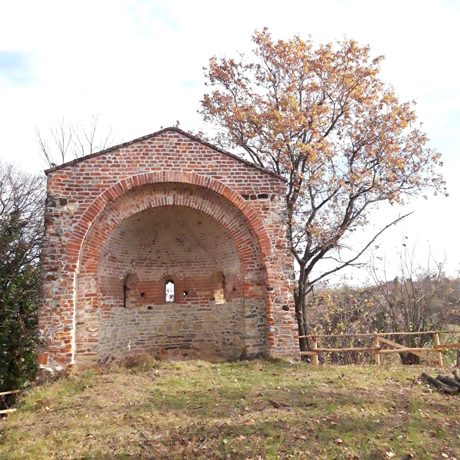
Sentiero della Masca Micilina
Its aim is to divulgate the popular stories and traditions which were a distinctive feature up to the last century the villages of Rocche. These stories of masche and witches fit this kind of area difficult and full of mystery.
GO TO THE TRAIL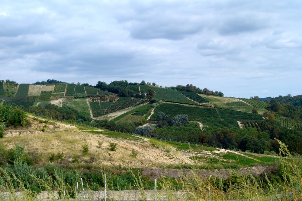
S1 - Grande Sentiero del Roero
More than one hundred and sixty hectares of wood, occupied for a third by almost secular trees, two ponds (the Lake of Brooms and the Lake of Herons), paths with walkways, parking structures, pic-nic places, a gym-sporting path with soccer field, toys and equipment for children.
GO TO THE TRAIL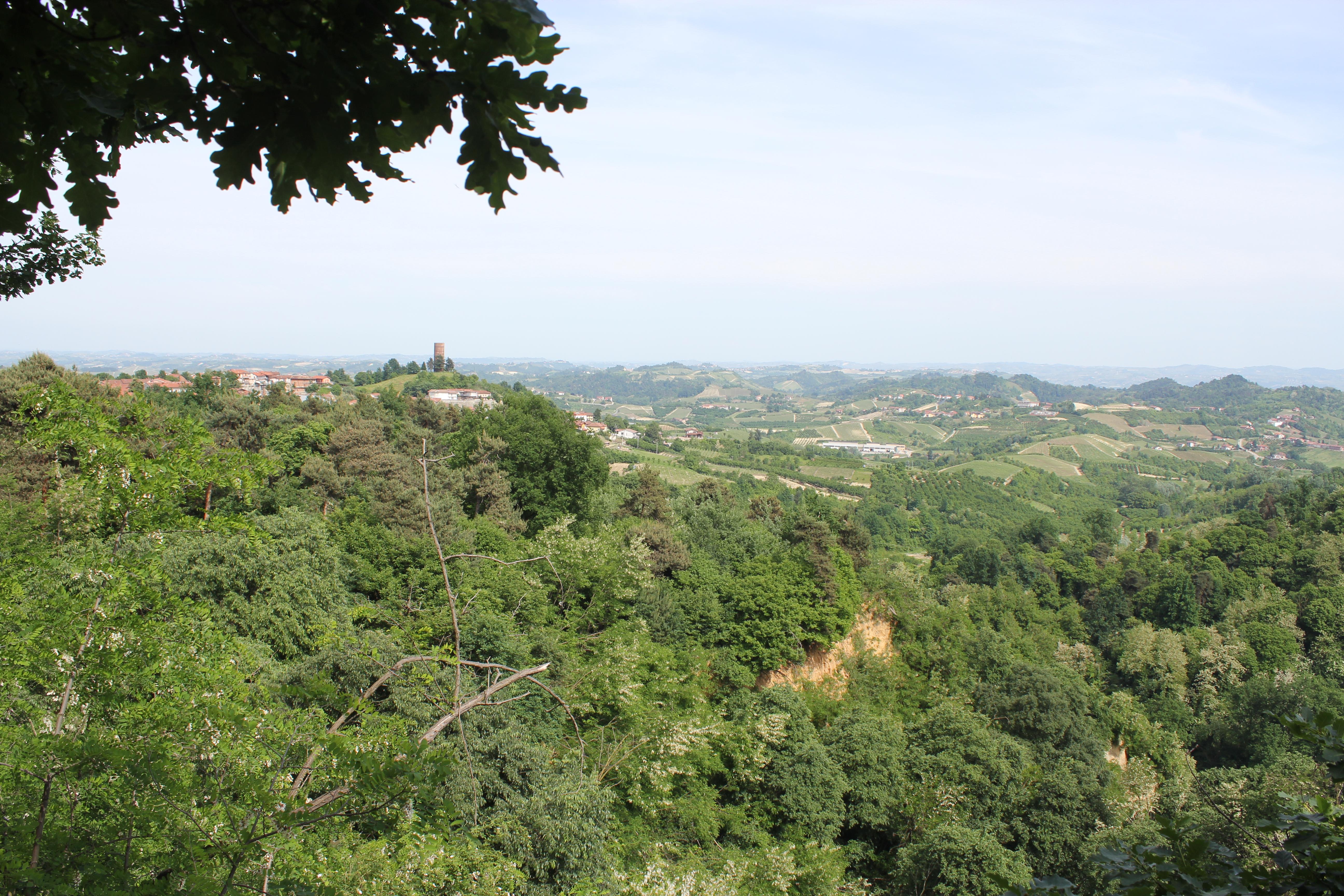
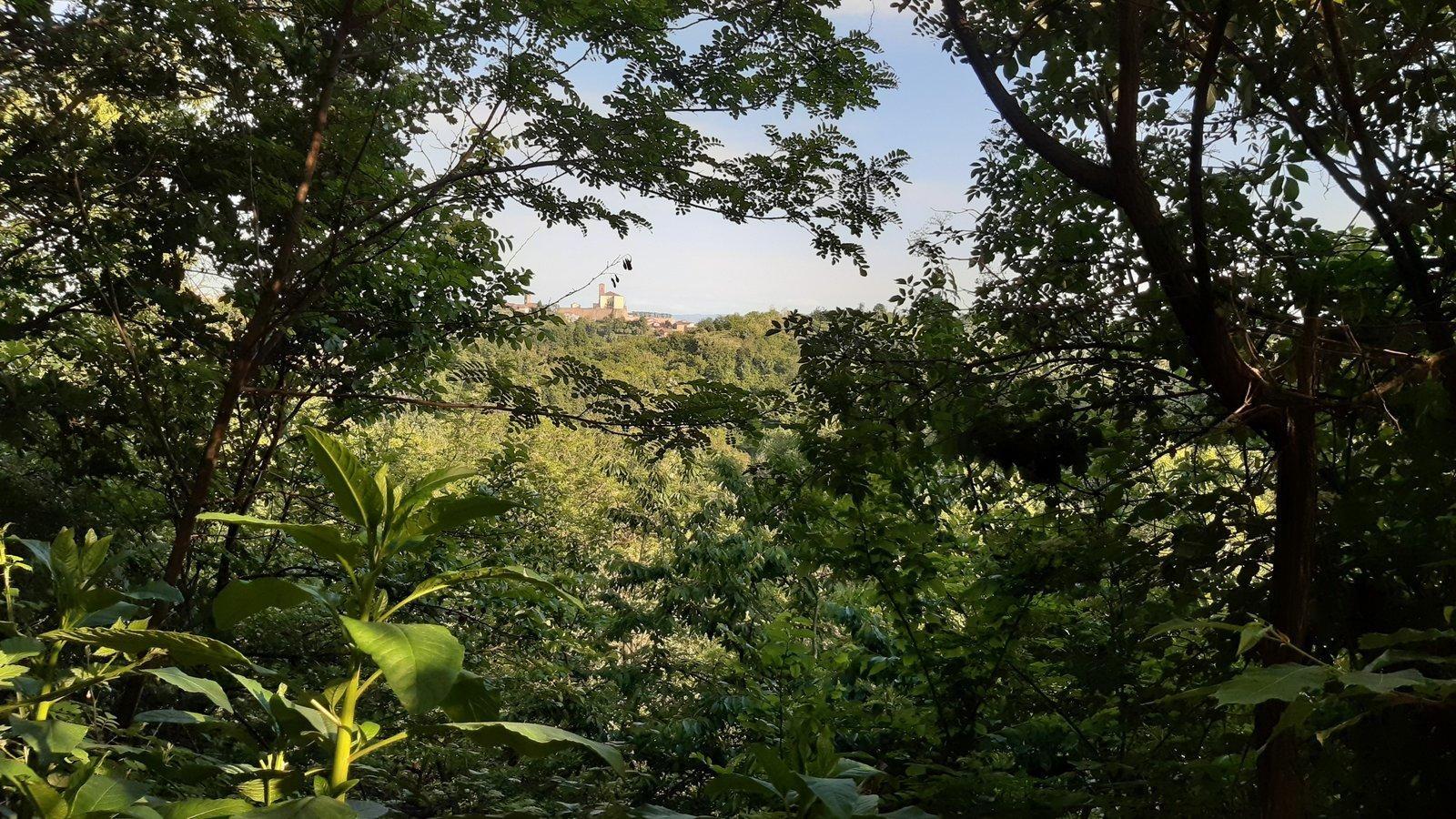
Sentiero della Rocca del Serro
Leaving from the little square in the centre of the village, the trail will lead you through woods and ancient chestnut trees, until a shady area.
From there, you will climb up again to the village, where the ancient tower stands up on the top of the hill.
Sentiero Livio Venturino
A very scenic itinerary through continuous up and downs, with spectacular views over the Rocche and over the castles of Monticello and Monteu Roero.
From the little church called “Madonna delle Grazie”, take the trail that will lead you through ancient woods of poplars and centuries-old chestnut trees, but also through orchards and wineyards.
GO TO THE TRAIL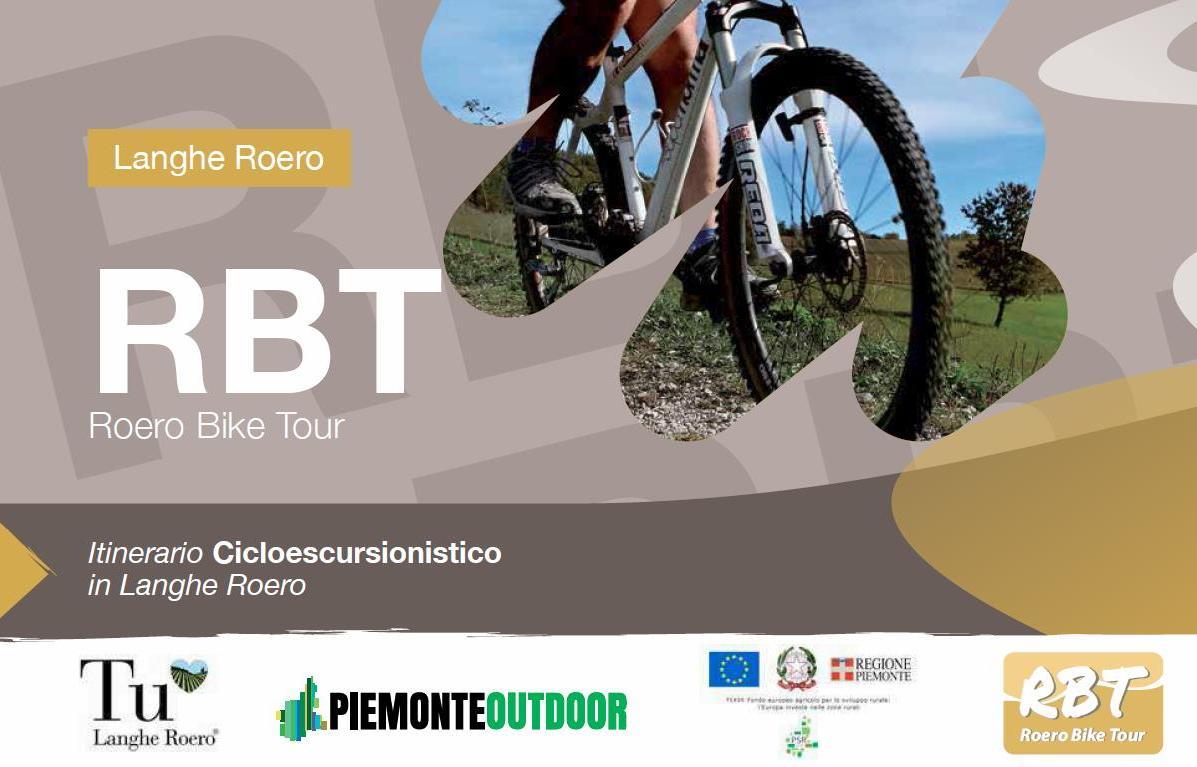
RBT - Roero Bike Tour
An itinerary that travel the whole Roero's territory, dedicated to the mountain bike or e-bike usage.
Distance: 140 km (87 mi) - Elevation: 1000 mt
Difficulty: MC (average skill level) - Path with portage needed, low traffic roads.

The 4 circuits of Roero Bike Tour
An itinerary that travel the whole Roero's territory, dedicated to the mountain bike or e-bike usage.
Distance: 140 km (87 mi) - Elevation: 1000 mt - Difficulty: MC (average skill level) - Path with portage needed, low traffic roads.